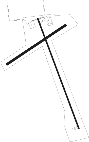
Gwinner - Gwinner Roger Melroe Fld
Airport details
| Country | United States of America |
| State | North Dakota |
| Region | K3 |
| Airspace | Minneapolis Ctr |
| Municipality | Whitestone Hill Township |
| Elevation | 1266ft (386m) |
| Timezone | GMT -6 |
| Coordinates | 46.21828, -97.64336 |
| Magnetic var | |
| Type | land |
| Available since | X-Plane v10.40 |
| ICAO code | KGWR |
| IATA code | n/a |
| FAA code | GWR |
Communication
| Gwinner Roger Melroe Fld AWOS 3 | 118.325 |
| Gwinner Roger Melroe Fld CTAF | 122.700 |
Nearby Points of Interest:
Lisbon Post Office
-Ransom County Courthouse
-Lisbon Bridge (Lisbon, North Dakota)
-Oakes Post Office
-Klein and Sutmar Block
-T. J. Walker Historic District
-Palestine Evangelical Lutheran Church
-Marshall County Courthouse

Nearby beacons
| code | identifier | dist | bearing | frequency |
|---|---|---|---|---|
| FAR | FARGO VOR/DME | 45.8 | 56° | 116.20 |
| ABR | ABERDEEN VOR/DME | 56.8 | 222° | 113 |
| AB | RENEY (ABERDEEN) NDB | 57.6 | 219° | 203 |
| AA | KENIE (FARGO) NDB | 58.5 | 46° | 365 |
Instrument approach procedures
| runway | airway (heading) | route (dist, bearing) |
|---|---|---|
| RW16 | FILON (157°) | FILON 3500ft |
| RNAV | FILON 3500ft JIMOD (6mi, 157°) 2900ft ASABE (2mi, 157°) 2180ft KGWR (3mi, 158°) 1295ft (5722mi, 115°) 1507ft WASWK (5720mi, 295°) 3500ft WASWK (turn) | |
| RW34 | WASWK (337°) | WASWK 3500ft |
| RNAV | WASWK 3500ft CORWN (6mi, 337°) 2900ft BUMGE (3mi, 337°) 1920ft KGWR (3mi, 336°) 1295ft (5722mi, 115°) 1507ft FILON (5724mi, 295°) 3500ft FILON (turn) |
Disclaimer
The information on this website is not for real aviation. Use this data with the X-Plane flight simulator only! Data taken with kind consent from X-Plane 12 source code and data files. Content is subject to change without notice.