Gila Bend - Gila Bend Af Aux
Airport details
| Country | United States of America |
| State | Arizona |
| Region | K2 |
| Airspace | Albuquerque Ctr |
| Municipality | Maricopa County |
| Elevation | 855ft (261m) |
| Timezone | GMT -7 |
| Coordinates | 32.88755, -112.71989 |
| Magnetic var | |
| Type | land |
| Available since | X-Plane v10.40 |
| ICAO code | KGXF |
| IATA code | n/a |
| FAA code | GXF |
Communication
| Gila Bend AF Aux Tower | 127.750 |
| Gila Bend AF Aux LUKE Departure | 125.450 |
Nearby Points of Interest:
Painted Rocks
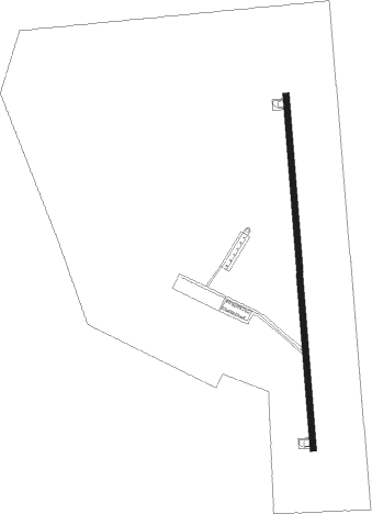
Runway info
| Runway 17 / 35 | ||
| length | 2594m (8510ft) | |
| bearing | 180° / 0° | |
| width | 46m (150ft) | |
| surface | asphalt | |
| blast zone | 255m (837ft) / 255m (837ft) | |
Nearby beacons
| code | identifier | dist | bearing | frequency |
|---|---|---|---|---|
| GBN | GILA BEND VORTAC | 4.7 | 34° | 116.60 |
| BXK | BUCKEYE VORTAC | 34.3 | 350° | 110.60 |
| TFD | STANFIELD (CASA GRANDE) VORTAC | 40.9 | 90° | 114.80 |
| LUF | LUKE (GLENDALE) TACAN | 42.6 | 28° | 113 |
| PXR | PHOENIX VORTAC | 49.9 | 54° | 115.60 |
Disclaimer
The information on this website is not for real aviation. Use this data with the X-Plane flight simulator only! Data taken with kind consent from X-Plane 12 source code and data files. Content is subject to change without notice.