Pulaski - Abernathy Fld
Airport details
| Country | United States of America |
| State | Tennessee |
| Region | K7 |
| Airspace | Memphis Ctr |
| Municipality | Giles County |
| Elevation | 685ft (209m) |
| Timezone | GMT -6 |
| Coordinates | 35.15408, -87.05705 |
| Magnetic var | |
| Type | land |
| Available since | X-Plane v10.30 |
| ICAO code | KGZS |
| IATA code | n/a |
| FAA code | GZS |
Communication
| ABERNATHY FLD AWOS 3 | 118.275 |
| ABERNATHY FLD CTAF/UNICOM | 122.800 |
Nearby Points of Interest:
Copeland Whitfield House
-Reveille
-Austin Hewitt Home
-Original Church of God
-Wilkinson-Martin House
-Bridgeforth High School
-Campbell Chapel African Methodist Episcopal Church
-George W. Tillery House
-Olivet United Methodist Church, Parsonage and School
-Milky Way Farm
-Lairdland Farm House
-Elisha White House
-Garrett House
-Governor George Smith Houston House
-Athens Courthouse Square Commercial Historic District
-Old Athens, Alabama Main Post Office
-Robert Donnell House
-Joe Chase Adams House
-Hugh Bright Douglas House
-Borden Milk Plant
-McDonald-Bolner House
-Clifton Place
-Pine Hill
-Union Station
-Mercer Hall
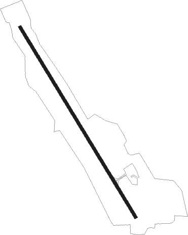
Runway info
| Runway 16 / 34 | ||
| length | 1620m (5315ft) | |
| bearing | 148° / 328° | |
| width | 23m (75ft) | |
| surface | asphalt | |
| displ threshold | 0m (0ft) / 91m (299ft) | |
Nearby beacons
| code | identifier | dist | bearing | frequency |
|---|---|---|---|---|
| RQZ | ROCKET (HUNTSVILLE) VORTAC | 29.8 | 130° | 112.20 |
| DCU | DME | 30.9 | 167° | 112.80 |
| MSL | MUSCLE SHOALS VORTAC | 34.3 | 224° | 116.50 |
| SYI | SHELBYVILLE VOR/DME | 38.9 | 57° | 113.55 |
| GHM | (CENTERVILLE) DME | 45.1 | 330° | 111.60 |
| FQW | WALTER HILL (MURFREESBORO) NDB | 58.9 | 40° | 371 |
| BNA | NASHVILLE VORTAC | 61.7 | 21° | 114.10 |
| HAB | DME | 74.2 | 225° | 110.40 |
Instrument approach procedures
| runway | airway (heading) | route (dist, bearing) |
|---|---|---|
| RW16 | WOZYE (148°) | WOZYE 3000ft |
| RNAV | WOZYE 3000ft UZSAP (7mi, 148°) 2600ft KGZS (6mi, 148°) 729ft (5261mi, 112°) 1089ft ZEWGU (5254mi, 292°) 3000ft ZEWGU (turn) | |
| RW34 | ZEWGU (328°) | ZEWGU 3000ft |
| RNAV | ZEWGU 3000ft VIDJO (7mi, 328°) 2600ft HESIG (3mi, 328°) 1540ft KGZS (3mi, 328°) 687ft (5261mi, 112°) 897ft WOZYE (5267mi, 292°) 3000ft WOZYE (turn) |
Disclaimer
The information on this website is not for real aviation. Use this data with the X-Plane flight simulator only! Data taken with kind consent from X-Plane 12 source code and data files. Content is subject to change without notice.