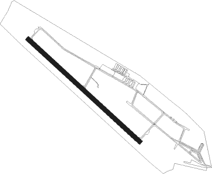
Half Moon Bay
Airport details
| Country | United States of America |
| State | California |
| Region | K2 |
| Airspace | Oakland Ctr |
| Municipality | Moss Beach |
| Elevation | 62ft (19m) |
| Timezone | GMT -8 |
| Coordinates | 37.51344, -122.50117 |
| Magnetic var | |
| Type | land |
| Available since | X-Plane v10.40 |
| ICAO code | KHAF |
| IATA code | HAF |
| FAA code | HAF |
Communication
| Half Moon Bay AWOS | 127.275 |
| Half Moon Bay CTAF/UNICOM | 122.800 |
| Half Moon Bay NORCAL Approach/Departure | 135.100 |
Nearby Points of Interest:
Community United Methodist Church
-Kohl Mansion
-X-100
-Arthur and Mona Hofmann House
-South San Francisco Public Library
-Ralston Hall
-Mortimer Fleishhacker House
-San Gregorio House
-Lathrop House (Redwood City, California)
-Fleishhacker Pool
-Redwood City Historic Commercial Buildings
-Frank G. Edwards House
-Holbrook-Palmer Estate
-UCSF Library
-San Francisco Bay
-Portola Valley School
-Girls Club
-St. Joseph's Hospital
-Abner Phelps House
-Palo Alto Stock Farm Horse Barn
-Fort Miley Military Reservation
-San Francisco VA Medical Center
-William Westerfeld House
-St. Joseph's Church and Complex
-Baker and Hamilton Building
Nearby beacons
| code | identifier | dist | bearing | frequency |
|---|---|---|---|---|
| SFO | SAN FRANCISCO VOR/DME | 8.7 | 50° | 115.80 |
| OSI | WOODSIDE VOR/DME | 12.7 | 119° | 113.90 |
| OAK | OAKLAND VOR/DME | 18.3 | 53° | 116.80 |
| SAU | SAUSALITO VOR/DME | 20.5 | 356° | 116.20 |
| NUQ | MOFFETT (MOUNTAIN VIEW) TACAN | 21.6 | 100° | 117.60 |
| SJC | SAN JOSE VOR/DME | 27.8 | 104° | 114.10 |
| PYE | POINT REYES VOR/DME | 38.2 | 327° | 113.70 |
| CCR | CONCORD VOR/DME | 38.5 | 41° | 117 |
| LV | REIGA (LIVERMORE) NDB | 40.3 | 78° | 374 |
| SGD | SCAGGS ISLAND (NAPA) VORTAC | 40.4 | 11° | 112.10 |
| SUU | TRAVIS (FAIRFIELD) TACAN | 51.2 | 37° | 116.60 |
| MR | MUNSO (MONTEREY) NDB | 60 | 148° | 385 |
| STS | ROSA DME | 61.5 | 343° | 116.15 |
| SNS | SALINAS VORTAC | 66.7 | 133° | 117.30 |
| SAC | SACRAMENTO VORTAC | 71.7 | 46° | 115.20 |
Instrument approach procedures
| runway | airway (heading) | route (dist, bearing) |
|---|---|---|
| RW12 | GOBBS (149°) | GOBBS FUJCE (7mi, 183°) 3000ft |
| RNAV | FUJCE 3000ft JEVXY (6mi, 130°) 1700ft KHAF (5mi, 130°) 99ft (6920mi, 107°) 700ft SEEMS (6925mi, 287°) 4000ft SEEMS (turn) 4000ft | |
| RW30 | SAPID (315°) | SAPID JUMDA (10mi, 322°) 3800ft |
| RNAV | JUMDA 3800ft WOHLI (6mi, 311°) 3300ft MAVKC (3mi, 311°) 2020ft KHAF (6mi, 310°) 76ft (6920mi, 107°) 381ft LAYKI (6922mi, 287°) SEEMS (4mi, 280°) 4000ft SEEMS (turn) 4000ft |
Disclaimer
The information on this website is not for real aviation. Use this data with the X-Plane flight simulator only! Data taken with kind consent from X-Plane 12 source code and data files. Content is subject to change without notice.