Holyoke
Airport details
| Country | United States of America |
| State | Colorado |
| Region | K2 |
| Airspace | Denver Ctr |
| Municipality | Holyoke |
| Elevation | 3729ft (1137m) |
| Timezone | GMT -7 |
| Coordinates | 40.56942, -102.27270 |
| Magnetic var | |
| Type | land |
| Available since | X-Plane v10.40 |
| ICAO code | KHEQ |
| IATA code | n/a |
| FAA code | HEQ |
Communication
| Holyoke AWOS 3 | 119.275 |
| Holyoke CTAF/UNICOM | 122.700 |
Nearby Points of Interest:
W. E. Heginbotham House
-Phillips County Courthouse
-Millage Farm Rural Historic District
-First National Bank of Haxtun
-Pinkie's Corner
-Champion Mill
-Sedgwick County Courthouse
-Chase County Courthouse
-Boggs Lumber and Hardware Building
-Texas Trail Stone Corral
-Perkins County Courthouse
-Grant Commercial Historic District
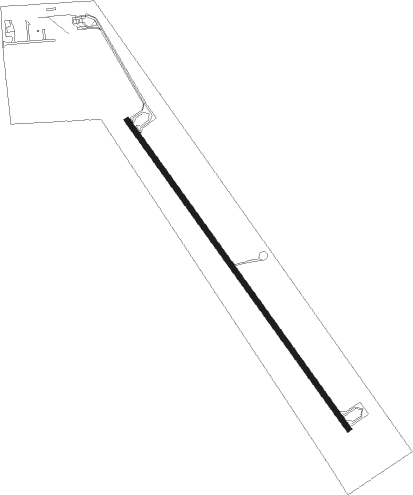
Runway info
| Runway 14 / 32 | ||
| length | 1525m (5003ft) | |
| bearing | 141° / 321° | |
| width | 23m (75ft) | |
| surface | asphalt | |
Nearby beacons
| code | identifier | dist | bearing | frequency |
|---|---|---|---|---|
| GGF | GRANT NDB | 30.6 | 61° | 359 |
| CNP | CHAPPELL NDB | 31.6 | 340° | 383 |
| SAE | SEARLE (OGALLALA) VOR/DME | 39.9 | 42° | 110.20 |
| SNY | SIDNEY VOR/DME | 45.2 | 307° | 115.90 |
| AKO | AKRON VOR/DME | 48.3 | 245° | 114.40 |
| OKS | OSHKOSH NDB | 50 | 355° | 233 |
| SYF | SAINT FRANCIS NDB | 55.6 | 149° | 386 |
| TXC | THURMAN VORTAC | 67.8 | 227° | 112.90 |
Departure and arrival routes
| Transition altitude | 18000ft |
| Transition level | 18000ft |
| SID end points | distance | outbound heading | |
|---|---|---|---|
| RW14 | |||
| HOLYO4 | 12mi | 233° | |
| RW32 | |||
| HOLYO4 | 12mi | 233° | |
Instrument approach procedures
| runway | airway (heading) | route (dist, bearing) |
|---|---|---|
| RW14 | HOLYO (283°) | HOLYO WAVNO (16mi, 307°) 6200ft WAVNO (turn) 6000ft |
| RW14 | SNY (127°) | SNY JANUT (30mi, 119°) 6600ft WAVNO (5mi, 141°) 6000ft |
| RNAV | WAVNO 6000ft ZOGAG (6mi, 141°) 5400ft KHEQ (5mi, 141°) 3770ft (5963mi, 112°) 4130ft YOSUS (5962mi, 292°) ASHBY (17mi, 132°) 6500ft ASHBY (turn) | |
| RW32 | ASHBY (313°) | ASHBY PIPUE (8mi, 302°) 6000ft |
| RW32 | MCJEF (331°) | MCJEF PIPUE (20mi, 337°) 6000ft |
| RW32 | OGLIE (10°) | OGLIE PIPUE (11mi, 54°) 6000ft |
| RNAV | PIPUE 6000ft ZISAS (6mi, 322°) 5400ft KHEQ (5mi, 321°) 3764ft (5963mi, 112°) 4100ft FEVLO (5966mi, 292°) CITMU (17mi, 216°) 6500ft CITMU (turn) |
Disclaimer
The information on this website is not for real aviation. Use this data with the X-Plane flight simulator only! Data taken with kind consent from X-Plane 12 source code and data files. Content is subject to change without notice.