Lake Havasu City
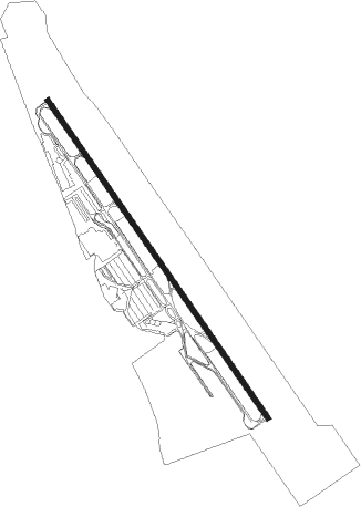
Airport details
| Country | United States of America |
| State | Arizona |
| Region | K2 |
| Airspace | Los Angeles Ctr |
| Municipality | Lake Havasu City |
| Elevation | 779ft (237m) |
| Timezone | GMT -7 |
| Coordinates | 34.57111, -114.35828 |
| Magnetic var | |
| Type | land |
| Available since | X-Plane v10.40 |
| ICAO code | KHII |
| IATA code | HII |
| FAA code | HII |
Communication
| Lake Havasu City AWOS 3 | 119.025 |
| Lake Havasu City CTAF/UNICOM | 122.700 |
| Lake Havasu City L.A. Center | 134.650 |
Nearby Points of Interest:
Oatman Drug Company Building
-Turtle Mountains
Nearby beacons
| code | identifier | dist | bearing | frequency |
|---|---|---|---|---|
| EED | NEEDLES VORTAC | 13 | 329° | 115.20 |
| PKE | PARKER VORTAC | 32.4 | 215° | 117.90 |
| IGM | KINGMAN VOR/DME | 46.3 | 32° | 108.80 |
| GFS | GOFFS VORTAC | 52.5 | 304° | 114.40 |
| BLH | BLYTHE VORTAC | 61.8 | 202° | 117.40 |
Instrument approach procedures
| runway | airway (heading) | route (dist, bearing) |
|---|---|---|
| RW14 | EED (149°) | EED 5000ft |
| RNAV | EED 5000ft PEYON (6mi, 158°) 3100ft RACOG (1mi, 141°) 2620ft KHII (6mi, 142°) 789ft (6598mi, 107°) 2600ft EED (6600mi, 287°) 6000ft EED (turn) 6000ft | |
| RW32 | MEMPE (228°) | MEMPE TASGE (21mi, 166°) 7000ft OGSOE (8mi, 244°) 4400ft |
| RW32 | PKE (35°) | PKE UCAYI (23mi, 74°) 5000ft OGSOE (8mi, 18°) 4400ft |
| RNAV | OGSOE 4400ft HODKI (6mi, 325°) 3500ft REKVE (5mi, 325°) 1940ft KHII (4mi, 325°) 833ft (6598mi, 107°) 1183ft JADUV (6598mi, 287°) GORSY (21mi, 314°) 6300ft GORSY (turn) 6300ft |
Disclaimer
The information on this website is not for real aviation. Use this data with the X-Plane flight simulator only! Data taken with kind consent from X-Plane 12 source code and data files. Content is subject to change without notice.