Hanford - Hanford Muni
Airport details
| Country | United States of America |
| State | California |
| Region | K2 |
| Airspace | Oakland Ctr |
| Municipality | Hanford |
| Elevation | 244ft (74m) |
| Timezone | GMT -8 |
| Coordinates | 36.31672, -119.62767 |
| Magnetic var | |
| Type | land |
| Available since | X-Plane v10.40 |
| ICAO code | KHJO |
| IATA code | n/a |
| FAA code | HJO |
Communication
| Hanford Muni ASOS | 134.750 |
| Hanford Muni CTAF/UNICOM | 122.800 |
| Hanford Muni FRESNO Approach/Departure | 123.900 |
Nearby Points of Interest:
Taoist Temple (Hanford, California)
-Kings County Courthouse
-The Pioneer
-US Post Office-Visalia Town Center Station
-Hyde House (Visalia, California)
-Bank of Italy
-Fowler
-Orosi Branch Library
-Exeter Library
-Orange Cove Santa Fe Railway Depot
-Fresno Municipal Sanitary Landfill
-Southern Pacific Depot
-San Joaquin Light and Power Corporation Building
-Fresno Bee Building
-Einstein House
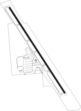
Runway info
| Runway 14 / 32 | ||
| length | 1581m (5187ft) | |
| bearing | 146° / 326° | |
| width | 23m (75ft) | |
| surface | asphalt | |
Nearby beacons
| code | identifier | dist | bearing | frequency |
|---|---|---|---|---|
| VIS | VISALIA VOR/DME | 7.6 | 71° | 109.40 |
| NLC | NAVY LEMOORE TACAN | 16.4 | 275° | 113.30 |
| CZQ | CLOVIS (FRESNO) VORTAC | 35.2 | 342° | 112.90 |
| TTE | TULE VOR/DME | 38.1 | 124° | 109.20 |
| AVE | AVENAL VOR/DME | 43.6 | 208° | 117.10 |
| FRA | FRIANT VORTAC | 47.3 | 2° | 115.60 |
| EHF | SHAFTER (BAKERSFIELD) VORTAC | 56.2 | 147° | 115.40 |
| PRB | PASO ROBLES VORTAC | 62 | 237° | 114.30 |
| HYP | EL NIDO (MERCED) VOR/DME | 65.7 | 319° | 114.20 |
Instrument approach procedures
| runway | airway (heading) | route (dist, bearing) |
|---|---|---|
| RW32 | EXTRA (268°) | EXTRA NOVIC (18mi, 239°) 2700ft NOVIC (turn) 2000ft |
| RW32 | LATON (232°) | LATON NOVIC (14mi, 171°) 2000ft NOVIC (turn) 2000ft |
| RW32 | PIXEY (315°) | PIXEY NOVIC (6mi, 297°) 2000ft |
| RNAV | NOVIC 2000ft MAXKA (6mi, 326°) 1900ft QEGCU (2mi, 326°) 1140ft KHJO (3mi, 326°) 288ft (6815mi, 107°) 700ft OYUGO (6813mi, 287°) 2000ft OYUGO (turn) 2000ft | |
| RWNVB | FRAME (171°) | FRAME YEKUT (7mi, 220°) 3400ft |
| RWNVB | LATON (232°) | LATON YEKUT (13mi, 303°) 3400ft YEKUT (turn) 3400ft |
| RNAV | YEKUT 3400ft WANUS (6mi, 146°) 2500ft KHJO (7mi, 146°) 285ft (6815mi, 107°) 640ft MAXKA (6814mi, 287°) PIXEY (12mi, 130°) 3100ft PIXEY (turn) |
Disclaimer
The information on this website is not for real aviation. Use this data with the X-Plane flight simulator only! Data taken with kind consent from X-Plane 12 source code and data files. Content is subject to change without notice.