Harlan - Harlan Muni
Airport details
| Country | United States of America |
| State | Iowa |
| Region | K3 |
| Airspace | Minneapolis Ctr |
| Municipality | Shelby County |
| Elevation | 1229ft (375m) |
| Timezone | GMT -6 |
| Coordinates | 41.58436, -95.33969 |
| Magnetic var | |
| Type | land |
| Available since | X-Plane v10.40 |
| ICAO code | KHNR |
| IATA code | n/a |
| FAA code | HNR |
Communication
| Harlan Muni AWOS 3 | 118.325 |
| Harlan Muni CTAF/UNICOM | 122.800 |
| Harlan Muni OMAHA Approach/Departure | 124.500 |
Nearby Points of Interest:
Shelby County Courthouse
-Floral Hall
-Charles Henry and Charlotte Norton House
-Pottawattamie County Sub Courthouse
-German Bank Building of Walnut, Iowa
-Kimballton West 2nd – West 3rd Street Residential District
-Kimballton Commercial District
-Hans J. Jorgensen Barn
-Irwin Consolidated School
-George Rewerts House
-Nishnabotna River Bridge
-American Legion Memorial Building
-Chicago, Rock Island & Pacific Railroad Depot
-Hotel Whitney
-Cass County Courthouse
-Charles F. and Ruth Chase House
-Job A. and Rebecca E. McWaid House
-Siebels' Department Store-Boyer Valley Bank
-Woodbine Public Library
-Nishnabotna Ferry House
-I.O.O.F. Hall
-Audubon County Court House
-State Savings Bank
-Harrison County Courthouse
-John D. Bush House
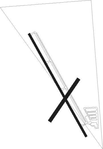
Runway info
Runway 15 / 33  | ||
| length | 1251m (4104ft) | |
| bearing | 148° / 328° | |
| width | 23m (75ft) | |
| surface | concrete | |
| Runway 03 / 21 | ||
| length | 522m (1713ft) | |
| bearing | 47° / 227° | |
| width | 37m (120ft) | |
| surface | grass | |
Nearby beacons
| code | identifier | dist | bearing | frequency |
|---|---|---|---|---|
| OVR | OMAHA VORTAC | 30.7 | 224° | 116.30 |
| OFF | OFFUTT (OMAHA) TACAN | 37.7 | 230° | 111.70 |
| PMV | PLATTSMOUTH NDB | 46.3 | 222° | 329 |
| EFW | JEFFERSON NDB | 51.5 | 67° | 391 |
| SU | SALIX (SOUIX CITY) NDB | 61.6 | 308° | 414 |
| AFK | NEBRASKA CITY NDB | 63.3 | 208° | 347 |
| SUX | SIOUX CITY TACAN | 63.3 | 308° | 116.50 |
Disclaimer
The information on this website is not for real aviation. Use this data with the X-Plane flight simulator only! Data taken with kind consent from X-Plane 12 source code and data files. Content is subject to change without notice.