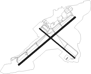
Hot Springs - Memorial Field
Airport details
| Country | United States of America |
| State | Arkansas |
| Region | K4 |
| Airspace | Memphis Ctr |
| Municipality | Hot Springs |
| Elevation | 540ft (165m) |
| Timezone | GMT -6 |
| Coordinates | 34.47803, -93.09622 |
| Magnetic var | |
| Type | land |
| Available since | X-Plane v10.40 |
| ICAO code | KHOT |
| IATA code | HOT |
| FAA code | HOT |
Communication
| Memorial Field ASOS | 119.925 |
| Memorial Field CTAF/UNICOM | 123.000 |
| Memorial Field MEMPHIS CNTR | 127.825 |
Approach frequencies
| ILS-cat-I | RW05 | 111.5 | 18.00mi |
| 3° GS | RW05 | 111.5 | 18.00mi |
Nearby Points of Interest:
W. C. Brown House
-Kraemer-Harman House
-George Klein Tourist Court Historic District
-Forest Service Headquarters Historic District
-William H. Martin House
-Humphreys-Ryan House
-Quapaw-Prospect Historic District
-Interstate Orphanage
-Van Lyell House
-Garland County Courthouse
-Charles N. Rix House
-Williams-Wootton House
-Walter Beauchamp House
-Peter Joplin Commercial Block
-Hamp Williams Building
-Central Methodist Episcopal Church South
-Citizens Building
-Orange Street Presbyterian Church
-Ouachita Avenue Historic District
-Hot Springs Railroad Warehouse Historic District
-Missouri-Pacific Railroad Depot-Hot Springs
-Malco Theatre
-Doherty House
-W. H. Moore House
-Woodmen of Union Building

Nearby beacons
| code | identifier | dist | bearing | frequency |
|---|---|---|---|---|
| HOT | HOT SPRINGS VOR/DME | 0.2 | 84° | 110 |
| HO | HOSSY (HOT SPRINGS) NDB | 5.7 | 239° | 385 |
| LI | LASKY (LITTLE ROCK) NDB | 40.7 | 76° | 353 |
| RUE | RUSSELLVILLE NDB | 46.7 | 0° | 379 |
| LIT | LITTLE ROCK VORTAC | 46.8 | 78° | 113.90 |
| HPC | HOPE NDB | 53.3 | 216° | 362 |
| LRF | JACKSONVILLE TACAN | 53.3 | 65° | 109.20 |
| TX | TECCO (TEXARKANA) NDB | 70 | 220° | 234 |
Instrument approach procedures
| runway | airway (heading) | route (dist, bearing) |
|---|---|---|
| RW05 | HOT (264°) | HOT EJREV (12mi, 240°) 3000ft EJREV (turn) 3000ft |
| RNAV | EJREV 3000ft IRJEX (6mi, 59°) 2300ft KHOT (6mi, 60°) 559ft (5558mi, 110°) 1300ft EJREV (5568mi, 290°) 3000ft EJREV (turn) |
Disclaimer
The information on this website is not for real aviation. Use this data with the X-Plane flight simulator only! Data taken with kind consent from X-Plane 12 source code and data files. Content is subject to change without notice.