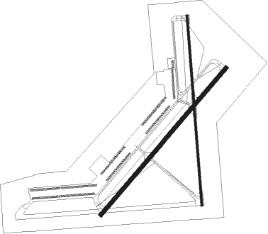
Kingman
Airport details
| Country | United States of America |
| State | Arizona |
| Region | K2 |
| Airspace | Los Angeles Ctr |
| Municipality | Mohave County |
| Elevation | 3449ft (1051m) |
| Timezone | GMT -7 |
| Coordinates | 35.25947, -113.93806 |
| Magnetic var | |
| Type | land |
| Available since | X-Plane v10.40 |
| ICAO code | KIGM |
| IATA code | IGM |
| FAA code | IGM |
Communication
| Kingman ASOS | 119.275 |
| Kingman CTAF/UNICOM | 122.800 |
Nearby Points of Interest:
S. T. Elliott House
-House at 527 Pine
-Lovin & Withers Investment House
-R. L. Anderson House
-Kingman Grammar School
-Ross H. Blakely House
-Raymond Carr House
-Duff T. Brown House
-Dr. Toler R. White House
-William G. Blakeley House
-Lefever House
-Ross E. Householder House
-Lovin and Withers Cottages
-Saint John's Methodist Episcopal Church
-Bonelli House
-Mohave County Courthouse and Jail
-J. B. Wright House
-W. P. Mahoney House
-Elk's Lodge No. 468
-Van Marter Building
-AT&T Building
-Max J. Anderson House
-Saint Mary's Catholic Church
-Armour and Jacobson Building
-W. A. Gruninger Building

Nearby beacons
| code | identifier | dist | bearing | frequency |
|---|---|---|---|---|
| IGM | KINGMAN VOR/DME | 0.2 | 75° | 108.80 |
| PGS | PEACH SPRINGS VOR/DME | 29.1 | 47° | 112 |
| EED | NEEDLES VORTAC | 39.6 | 227° | 115.20 |
| BLD | BOULDER CITY VORTAC | 63.2 | 309° | 116.70 |
Instrument approach procedures
| runway | airway (heading) | route (dist, bearing) |
|---|---|---|
| RW03 | PATOK (48°) | PATOK IRDUQ (6mi, 42°) 6300ft |
| RW03 | PRFUM (179°) | PRFUM APATE (18mi, 227°) 9200ft TOPRY (5mi, 226°) 7600ft IRDUQ (9mi, 129°) 6300ft |
| RW03 | UNPAS (93°) | UNPAS TOPRY (20mi, 102°) 7600ft IRDUQ (9mi, 129°) 6300ft |
| RNAV | IRDUQ 6300ft ROUTI (6mi, 51°) 5300ft NAVSE (3mi, 51°) 4180ft KIGM (3mi, 51°) 3456ft MANNZ (3mi, 50°) PRFUM (13mi, 348°) 9000ft PRFUM (turn) | |
| RW21-Y | DOMMS (200°) | DOMMS VOJUR (4mi, 176°) 7300ft |
| RW21-Y | PRFUM (179°) | PRFUM VOJUR (6mi, 107°) 7300ft |
| RW21-Y | SINHO (256°) | SINHO JAKLO (7mi, 320°) 8200ft VOJUR (6mi, 285°) 7300ft |
| RNAV | VOJUR 7300ft LUPEW (8mi, 198°) 5200ft DEMDY (4mi, 215°) 4000ft ESOTY (1mi, 215°) 3598ft (6566mi, 107°) 3850ft PRFUM (6564mi, 287°) 9000ft PRFUM (turn) | |
| RW21-Z | BEYMI (268°) | BEYMI CIVAT (9mi, 310°) 8900ft JAKLO (5mi, 309°) 7200ft |
| RW21-Z | DOMMS (200°) | DOMMS JAKLO (8mi, 129°) 7200ft |
| RNAV | JAKLO 7200ft JAMVU (6mi, 231°) 6300ft KIGM (9mi, 231°) 3440ft IRDUQ (13mi, 231°) TOPRY (9mi, 309°) PRFUM (23mi, 47°) 9000ft PRFUM (turn) |
Disclaimer
The information on this website is not for real aviation. Use this data with the X-Plane flight simulator only! Data taken with kind consent from X-Plane 12 source code and data files. Content is subject to change without notice.