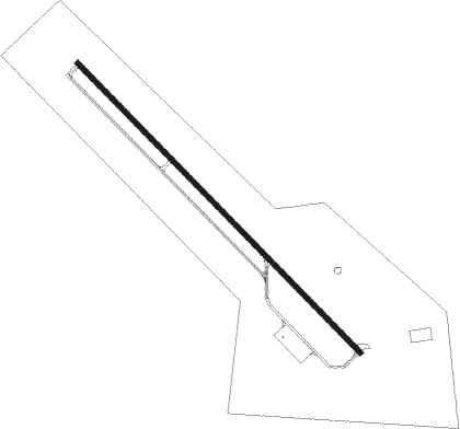
Kingsville - Kleberg Co
Airport details
| Country | United States of America |
| State | Texas |
| Region | K4 |
| Airspace | Houston Oceanic Ctr |
| Municipality | Kleberg County |
| Elevation | 129ft (39m) |
| Timezone | GMT -6 |
| Coordinates | 27.54535, -98.02853 |
| Magnetic var | |
| Type | land |
| Available since | X-Plane v10.40 |
| ICAO code | KIKG |
| IATA code | n/a |
| FAA code | IKG |
Communication
| Kleberg Co AWOS 3 | 119.075 |
| Kleberg Co CTAF/UNICOM | 122.700 |
| Kleberg Co KINGSVILLE Approach/Departure | 119.900 |
Nearby Points of Interest:
King Ranch
-John B. Ragland Mercantile Company Building
-Brooks County Courthouse
Nearby beacons
| code | identifier | dist | bearing | frequency |
|---|---|---|---|---|
| ALI | ALICE VOR | 11.6 | 2° | 114.50 |
| NQI | KINGSVILLE TACAN | 12.1 | 102° | 117.80 |
| NOG | ORANGE GROVE TACAN | 21 | 358° | 133.60 |
| CRP | CORPUS CHRISTI VORTAC | 37.7 | 58° | 115.50 |
| NGP | TRUAX (CORPUS CHRISTI) TACAN | 39.9 | 79° | 114 |
| EOC | COYOTE (ENCINO) NDB | 42.7 | 195° | 232 |
| THX | THREE RIVERS VORTAC | 57.9 | 353° | 111.40 |
Instrument approach procedures
| runway | airway (heading) | route (dist, bearing) |
|---|---|---|
| RW13 | CRP (238°) | CRP PUNVE (36mi, 255°) 2000ft IHPOP (4mi, 233°) 2000ft |
| RW13 | IHPOP (137°) | IHPOP 2000ft |
| RNAV | IHPOP 2000ft JOYRY (6mi, 137°) 1500ft ZUNIK (2mi, 137°) 700ft KIKG (3mi, 139°) 172ft OREAN (8mi, 136°) 2000ft OREAN (turn) |
Disclaimer
The information on this website is not for real aviation. Use this data with the X-Plane flight simulator only! Data taken with kind consent from X-Plane 12 source code and data files. Content is subject to change without notice.