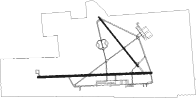
Indian Springs - Creech Afb
Airport details
| Country | United States of America |
| State | Nevada |
| Region | K2 |
| Airspace | Los Angeles Ctr |
| Municipality | Clark County |
| Elevation | 3133ft (955m) |
| Timezone | GMT -8 |
| Coordinates | 36.58635, -115.67737 |
| Magnetic var | |
| Type | land |
| Available since | X-Plane v11.50 |
| ICAO code | KINS |
| IATA code | INS |
| FAA code | INS |
Communication
| Creech AFB ASOS | 121.125 |
| Creech AFB Tower | 118.300 |
Nearby Points of Interest:
Tule Springs Ranch
-Eureka

Nearby beacons
| code | identifier | dist | bearing | frequency |
|---|---|---|---|---|
| INS | INDIAN SPRINGS TACAN | 0.3 | 101° | 114 |
| LSV | NELLIS (LAS VEGAS) TACAN | 37.6 | 118° | 135.50 |
| LAS | LAS VEGAS VORTAC | 39.4 | 134° | 116.90 |
| MCY | MICKEY (MERCURY) VORTAC | 39.7 | 350° | 117.50 |
| GOG | DME | 42.4 | 165° | 112.05 |
| LMX | DME | 52 | 32° | 113.65 |
| BLD | BOULDER CITY VORTAC | 53 | 126° | 116.70 |
Disclaimer
The information on this website is not for real aviation. Use this data with the X-Plane flight simulator only! Data taken with kind consent from X-Plane 12 source code and data files. Content is subject to change without notice.