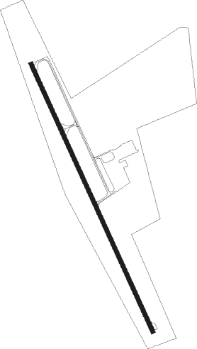
Burlington - Kit Carson Co
Airport details
| Country | United States of America |
| State | Colorado |
| Region | K2 |
| Airspace | Denver Ctr |
| Municipality | Kit Carson County |
| Elevation | 4217ft (1285m) |
| Timezone | GMT -7 |
| Coordinates | 39.24250, -102.28539 |
| Magnetic var | |
| Type | land |
| Available since | X-Plane v10.40 |
| ICAO code | KITR |
| IATA code | n/a |
| FAA code | ITR |
Communication
| Kit Carson Co ASOS | 135.225 |
| Kit Carson Co CTAF/UNICOM | 122.800 |
Approach frequencies
| LOC | RW33 | 111.9 | 18.00mi |
Nearby Points of Interest:
Burlington State Armory
-Burlington Gymnasium
-Ruleton School
-Cheyenne County Courthouse
-Cheyenne County Jail
-Mary Seaman Ennis House
-Goodland City Library
Nearby beacons
| code | identifier | dist | bearing | frequency |
|---|---|---|---|---|
| ITR | KIT CARSON (BURLINGTON) NDB | 0.2 | 22° | 209 |
| GLD | GOODLAND VORTAC | 28.9 | 76° | 115.10 |
| GL | SHUGR (GOODLAND) NDB | 31.9 | 86° | 414 |
| SYF | SAINT FRANCIS NDB | 37.7 | 47° | 386 |
| TXC | THURMAN VORTAC | 51 | 296° | 112.90 |
| AKO | AKRON VOR/DME | 68.6 | 316° | 114.40 |
Instrument approach procedures
| runway | airway (heading) | route (dist, bearing) |
|---|---|---|
| RW15 | GLD (256°) | GLD EHVER (23mi, 282°) 7000ft MIXTU (10mi, 254°) 7000ft |
| RW15 | MIXTU (155°) | MIXTU 7000ft |
| RW15 | TXC (116°) | TXC DUSDY (36mi, 117°) 7000ft MIXTU (10mi, 74°) 7000ft |
| RNAV | MIXTU 7000ft OWKUR (6mi, 155°) 6000ft IDPEF (4mi, 155°) 4800ft KITR (2mi, 155°) 4258ft (5975mi, 111°) 4700ft MIXTU (5977mi, 291°) 7000ft MIXTU (turn) |
Disclaimer
The information on this website is not for real aviation. Use this data with the X-Plane flight simulator only! Data taken with kind consent from X-Plane 12 source code and data files. Content is subject to change without notice.
