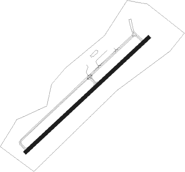
Wiscasset
Airport details
| Country | United States of America |
| State | Maine |
| Region | K6 |
| Airspace | Boston Ctr |
| Municipality | Wiscasset |
| Elevation | 69ft (21m) |
| Timezone | GMT -5 |
| Coordinates | 43.96142, -69.71255 |
| Magnetic var | |
| Type | land |
| Available since | X-Plane v10.40 |
| ICAO code | KIWI |
| IATA code | ISS |
| FAA code | IWI |
Communication
| Wiscasset Wiscasset ASOS | 135.725 |
| Wiscasset Wiscasset CTAF/UNICOM | 122.800 |
| Wiscasset Portland Approach/Departure | 119.750 |
Nearby Points of Interest:
Stephen Parsons House
-United States Customhouse and Post Office
-Nickels-Sortwell House
-Red Brick School
-Capt. George Scott House
-John E.L. Huse Memorial School
-Trufant Historic District
-Hyde Mansion
-Fiddler's Reach Fog Signal
-Knight-Corey House
-Perkins Township
-Benjamin Riggs House
-Robinhood Free Meetinghouse
-Riggs-Zorach House
-Pythian Opera House
-Cold Spring Farm
-Boothbay Harbor Memorial Library
-Mill Cove School
-Thompson Icehouse
-Bowman-Carney House
-Southard Block
-Viola Coombs House
-Robert P. Carr House
-Bridge Academy Public Library
Nearby beacons
| code | identifier | dist | bearing | frequency |
|---|---|---|---|---|
| AUG | AUGUSTA VOR/DME | 21.8 | 347° | 114.95 |
| SUH | SPRUCEHEAD (OWLS HEAD) NDB | 26.7 | 82° | 356 |
| LE | LEWIE (AUBURN-LEWISTON) NDB | 27 | 270° | 240 |
| AU | DUNNS (AUGUSTA) NDB | 27.7 | 342° | 366 |
| BUP | BURNHAM (PITTSFIELD) NDB | 46.7 | 26° | 348 |
| ENE | KENNEBUNK VOR/DME | 50.6 | 239° | 117.10 |
| BGR | BANGOR VORTAC | 63.9 | 44° | 114.80 |
Instrument approach procedures
| runway | airway (heading) | route (dist, bearing) |
|---|---|---|
| RW07 | NOLLI (111°) | NOLLI EBBIL (15mi, 144°) 3000ft BAZQE (5mi, 132°) 2400ft |
| RW07 | RAZZR (206°) | RAZZR EBBIL (26mi, 232°) 3000ft BAZQE (5mi, 132°) 2400ft |
| RW07 | SAPPE (45°) | SAPPE KEBTY (13mi, 54°) 3000ft BAZQE (5mi, 312°) 2400ft |
| RNAV | BAZQE 2400ft AVOIL (6mi, 60°) 1700ft KIWI (264mi, 348°) 110ft EDEJU (257mi, 163°) 3000ft EDEJU (turn) | |
| RW25 | CEZAC (260°) | CEZAC EDEJU (5mi, 313°) 2400ft |
| RW25 | NOLLI (111°) | NOLLI TEKTE (12mi, 89°) 3400ft GEMIN (12mi, 89°) 3000ft EDEJU (5mi, 133°) 2400ft |
| RW25 | RAZZR (206°) | RAZZR GEMIN (5mi, 182°) 3000ft EDEJU (5mi, 133°) 2400ft |
| RNAV | EDEJU 2400ft OMDOW (6mi, 240°) 1700ft ITUXY (2mi, 240°) 760ft KIWI (261mi, 346°) 96ft BAZQE (268mi, 169°) 3000ft BAZQE (turn) |
Disclaimer
The information on this website is not for real aviation. Use this data with the X-Plane flight simulator only! Data taken with kind consent from X-Plane 12 source code and data files. Content is subject to change without notice.