Inyokern
Airport details
| Country | United States of America |
| State | California |
| Region | K2 |
| Airspace | Los Angeles Ctr |
| Municipality | Inyokern |
| Elevation | 2457ft (749m) |
| Timezone | GMT -8 |
| Coordinates | 35.65874, -117.82953 |
| Magnetic var | |
| Type | land |
| Available since | X-Plane v10.40 |
| ICAO code | KIYK |
| IATA code | IYK |
| FAA code | IYK |
Communication
| Inyokern CTAF/UNICOM | 122.800 |
| Inyokern JOSHUA ApproachROACH | 133.650 |
| Inyokern JOSHUA DepartureARTURE | 133.650 |
Nearby Points of Interest:
Walker Pass
-Burro Schmidt Tunnel
-Last Chance Canyon
-Coso Rock Art District
-Coso Hot Springs
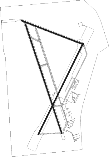
Runway info
Runway 15 / 33  | ||
| length | 2168m (7113ft) | |
| bearing | 163° / 343° | |
| width | 23m (75ft) | |
| surface | asphalt | |
| blast zone | 0m (0ft) / 47m (154ft) | |
| Runway 2 / 20 | ||
| length | 1915m (6283ft) | |
| bearing | 36° / 216° | |
| width | 23m (75ft) | |
| surface | asphalt | |
| displ threshold | 0m (0ft) / 101m (331ft) | |
| blast zone | 0m (0ft) / 1m (3ft) | |
| Runway 10 / 28 | ||
| length | 1264m (4147ft) | |
| bearing | 111° / 291° | |
| width | 23m (75ft) | |
| surface | asphalt | |
| displ threshold | 0m (0ft) / 31m (102ft) | |
Nearby beacons
| code | identifier | dist | bearing | frequency |
|---|---|---|---|---|
| NID | CHINA LAKE TACAN | 7 | 78° | 111.60 |
| EDW | EDWARDS VORTAC | 40.8 | 172° | 116.40 |
| LHS | LAKE HUGHES VORTAC | 69.1 | 217° | 114.35 |
Departure and arrival routes
| Transition altitude | 18000ft |
| Transition level | 18000ft |
| SID end points | distance | outbound heading | |
|---|---|---|---|
| RW20 | |||
| IYK2, LHS2 | 69mi | 217° | |
Instrument approach procedures
| runway | airway (heading) | route (dist, bearing) |
|---|---|---|
| RW02 | LHS (37°) | LHS MOVIA (24mi, 41°) 11000ft CETEG (14mi, 36°) 10000ft ASUYU (5mi, 36°) 8600ft BACRA (10mi, 36°) 7000ft |
| RNAV | BACRA 7000ft DIVAC (7mi, 36°) 5700ft BISAC (4mi, 36°) 4246ft (6748mi, 107°) 4246ft MIGPE (6753mi, 287°) ASUYU (14mi, 216°) 8600ft ASUYU (turn) |
Disclaimer
The information on this website is not for real aviation. Use this data with the X-Plane flight simulator only! Data taken with kind consent from X-Plane 12 source code and data files. Content is subject to change without notice.