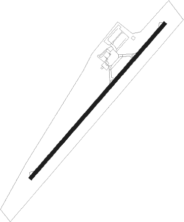
Jacksboro - Tommy C Stiner Airfield
Airport details
| Country | United States of America |
| State | Tennessee |
| Region | K7 |
| Airspace | Atlanta Ctr |
| Municipality | Campbell County |
| Elevation | 1180ft (360m) |
| Timezone | GMT -5 |
| Coordinates | 36.33409, -84.16296 |
| Magnetic var | |
| Type | land |
| Available since | X-Plane v10.40 |
| ICAO code | KJAU |
| IATA code | n/a |
| FAA code | JAU |
Communication
| Tommy C Stiner Airfield AWOS 3 | 124.975 |
| Tommy C Stiner Airfield CTAF/UNICOM | 122.800 |
Nearby Points of Interest:
A.E. Perkins House
-Kincaid-Howard House
-Green McAdoo School
-Daugherty Furniture Building
-U.S. Post Office and Mine Rescue Station
-Luther Brannon House
-Alexander Bishop House
-Kincaid House
-Oak Ridge Historic District
-Dr. Fred Stone, Sr., Hospital
-Colonial Hall
-J. B. Jones House
-Kincaid-Ausmus House
-Airplane Service Station
-Barton Chapel
-Hamilton-Lay Store
-Savage House and Garden
-Black Creek Fire Lookout Tower
-Alfred Buffat Homestead
-Ivan Racheff House
-Peters House
-Greystone
-Lea Springs
-Trinity Methodist Episcopal Church
-Lane Theater
Nearby beacons
| code | identifier | dist | bearing | frequency |
|---|---|---|---|---|
| SCX | SCOTT (ONEIDA) NDB | 21.8 | 286° | 403 |
| VXV | VOLUNTEER (KNOXVILLE) VORTAC | 28.8 | 148° | 116.40 |
| JXT | JEFFERSON (MORRISTOWN) NDB | 35.9 | 108° | 346 |
| LOZ | LONDON VOR/DME | 42 | 4° | 116.55 |
| CDX | CUMBERLAND RIVER (SOMERSET) NDB | 46.9 | 322° | 388 |
| HCH | HINCH MTN (CROSSVILLE) VOR/DME | 51.6 | 236° | 117.60 |
| DTE | MARK ANTON (DAYTON) NDB | 63.3 | 222° | 394 |
Instrument approach procedures
| runway | airway (heading) | route (dist, bearing) |
|---|---|---|
| RW23 | EGSOY (243°) | EGSOY 6000ft EGSOY (turn) 5300ft |
| RW23 | NOYIB (253°) | NOYIB EGSOY (4mi, 294°) 5300ft |
| RW23 | WABUP (228°) | WABUP EGSOY (5mi, 158°) 5300ft |
| RNAV | EGSOY 5300ft FEGTO (4mi, 244°) 4500ft JALRO (4mi, 244°) 3600ft JUVKO (4mi, 244°) 2220ft HUBJO (3mi, 244°) 1374ft (5122mi, 113°) 1580ft CIFTO (5111mi, 293°) EGSOY (9mi, 16°) 5300ft EGSOY (turn) 5300ft |
Disclaimer
The information on this website is not for real aviation. Use this data with the X-Plane flight simulator only! Data taken with kind consent from X-Plane 12 source code and data files. Content is subject to change without notice.