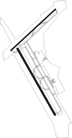
Lake Charles - Lake Charles Regl
Airport details
| Country | United States of America |
| State | Louisiana |
| Region | K4 |
| Airspace | Houston Oceanic Ctr |
| Municipality | Calcasieu Parish |
| Elevation | 15ft (5m) |
| Timezone | GMT -6 |
| Coordinates | 30.12608, -93.22342 |
| Magnetic var | |
| Type | land |
| Available since | X-Plane v10.40 |
| ICAO code | KLCH |
| IATA code | LCH |
| FAA code | LCH |
Communication
| Lake Charles Regl ATIS | 118.750 |
| Lake Charles Regl CTAF | 120.700 |
| Lake Charles Regl UNICOM | 122.950 |
| Lake Charles Regl Clearance DEL | 126.250 |
| Lake Charles Regl Ground Control | 121.800 |
| Lake Charles Regl Tower | 120.700 |
| Lake Charles Regl Approach/Departure | 119.350 |
| Lake Charles Regl Approach/Departure | 119.750 |
| Lake Charles Regl Approach/Departure | 119.800 |
Approach frequencies
| ILS-cat-I | RW15 | 109.1 | 18.00mi |
| 3° GS | RW15 | 109.1 | 18.00mi |
Nearby Points of Interest:
Muller's Department Store
-Kansas City Southern Depot
-Jennings Carnegie Public Library
-Istre Cemetery Grave Houses
-Elton United Methodist Church

Nearby beacons
| code | identifier | dist | bearing | frequency |
|---|---|---|---|---|
| LCH | LAKE CHARLES VORTAC | 6.1 | 83° | 113.40 |
| CW | MOSSY (LAKE CHARLES) NDB | 10.9 | 9° | 418 |
| AUR | SULFY (SULPHUR) NDB | 11.1 | 290° | 278 |
| DXB | DE RIDDER NDB | 38 | 350° | 385 |
| BPT | BEAUMONT VOR/DME | 42.6 | 257° | 114.50 |
| ECY | DURALDE (EUNICE) NDB | 47.8 | 61° | 263 |
| SBI | SABINE PASS VOR/DME | 49.9 | 242° | 115.40 |
| GDE | GOODHUE (BEAUMONT) NDB | 51.4 | 267° | 368 |
| LLA | WHITE LAKE VOR/DME | 52.2 | 119° | 110.40 |
| FXU | POLK (FORT POLK) VOR | 59.1 | 0° | 108.40 |
Instrument approach procedures
| runway | airway (heading) | route (dist, bearing) |
|---|---|---|
| RW05 | WINUP (57°) | WINUP 1700ft |
| RNAV | WINUP 1700ft OSOLA (6mi, 56°) 1700ft CELOM (2mi, 56°) 1140ft KLCH (4mi, 61°) 59ft (5573mi, 108°) 340ft COMTO (5563mi, 288°) 1900ft COMTO (turn) | |
| RW15 | ZUKLA (151°) | ZUKLA 1700ft |
| RNAV | ZUKLA 1700ft FIDGA (6mi, 151°) 1500ft KLCH (5mi, 150°) 66ft (5573mi, 108°) 211ft SOTLE (5568mi, 288°) 1900ft SOTLE (turn) | |
| RW23 | COMTO (234°) | COMTO 1900ft |
| RNAV | COMTO 1900ft OCALI (6mi, 236°) 1700ft KLCH (6mi, 233°) 62ft (5573mi, 108°) 265ft WINUP (5582mi, 288°) 1700ft WINUP (turn) | |
| RW33 | SOTLE (332°) | SOTLE 1900ft |
| RNAV | SOTLE 1900ft JERIL (6mi, 332°) 1900ft ATUYE (4mi, 331°) 460ft KLCH (2mi, 336°) 60ft (5573mi, 108°) 210ft ZUKLA (5577mi, 288°) 1700ft ZUKLA (turn) |
Disclaimer
The information on this website is not for real aviation. Use this data with the X-Plane flight simulator only! Data taken with kind consent from X-Plane 12 source code and data files. Content is subject to change without notice.