Lake City - Lake City Muni
Airport details
| Country | United States of America |
| State | Florida |
| Region | K7 |
| Airspace | Jacksonville Ctr |
| Municipality | Columbia County |
| Elevation | 201ft (61m) |
| Timezone | GMT -5 |
| Coordinates | 30.18206, -82.57686 |
| Magnetic var | |
| Type | land |
| Available since | X-Plane v10.40 |
| ICAO code | KLCQ |
| IATA code | LCQ |
| FAA code | LCQ |
Communication
| Lake City Muni AWOS 3 | 120.675 |
| Lake City Muni CTAF | 119.200 |
| Lake City Muni UNICOM | 122.700 |
| Lake City Muni Ground Control | 121.900 |
| Lake City Muni Tower | 119.200 |
Nearby Points of Interest:
Lake Isabella Historic Residential District
-T. G. Henderson House
-Lake City Historic Commercial District
-Horace Duncan House
-Columbia County High School
-Falling Creek Methodist Church and Cemetery
-Olustee Battlefield Historic State Park
-Johns House
-White Springs Historic District
-Osceola National Forest
-Townsend Building
-James W. Townsend House
-Fort White Public School Historic District
-South Brooksville Avenue Historic District
-Sikes House
-Hull-Hawkins House
-Dr. Price House
-Old Live Oak City Hall
-Union Depot and Atlantic Coast Line Freight Station
-Suwannee County Courthouse
-Bishop B. Blackwell House
-George Allison House
-Burnsed Blockhouse
-City of Alachua Downtown Historic District
-Old Baker County Courthouse

Nearby beacons
| code | identifier | dist | bearing | frequency |
|---|---|---|---|---|
| LCQ | LAKE CITY NDB | 0.2 | 332° | 204 |
| TAY | TAYLOR VORTAC | 19.4 | 4° | 112.90 |
| GNV | GATORS VORTAC | 33.4 | 148° | 116.20 |
| NZC | CECIL TACAN | 36.7 | 87° | 114.10 |
| GN | WYNDS (GAINESVILLE) NDB | 37.2 | 142° | 269 |
| CTY | CROSS CITY VORTAC | 42.7 | 219° | 112 |
| JA | DINNS (JACKSONVILLE) NDB | 43.6 | 70° | 344 |
| NIP | JACKSONVILLE TACAN | 46.9 | 87° | 108.20 |
| RYD | REYNOLDS (GREEN COVE SPRINGS) NDB | 49.4 | 103° | 338 |
| OTK | VALDOSTA VOR/DME | 51.1 | 310° | 114.80 |
| HOE | HOMERVILLE NDB | 53.4 | 347° | 209 |
| VAD | MOODY (VALDOSTA) TACAN | 56.5 | 322° | 113.30 |
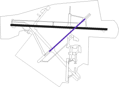
Instrument approach procedures
| runway | airway (heading) | route (dist, bearing) |
|---|---|---|
| RW10 | DREBL (96°) | DREBL 2000ft |
| RW10 | TAY (184°) | TAY AZNEL (17mi, 225°) 2000ft DREBL (5mi, 188°) 2000ft |
| RNAV | DREBL 2000ft TAZAN (5mi, 96°) 1800ft YESUN (3mi, 96°) 940ft KLCQ (3mi, 97°) 251ft (5020mi, 110°) 800ft DREBL (5031mi, 290°) 2000ft DREBL (turn) | |
| RW28 | OREHO (276°) | OREHO 2000ft |
| RW28 | TOKUC (297°) | TOKUC 2000ft OREHO (5mi, 8°) 2000ft |
| RW28 | ZELZY (256°) | ZELZY 2000ft OREHO (5mi, 188°) 2000ft |
| RNAV | OREHO 2000ft OPPEY (6mi, 276°) 1800ft KLCQ (5mi, 276°) 251ft (5020mi, 110°) 540ft JITUX (5032mi, 290°) 2000ft JITUX (turn) |
Disclaimer
The information on this website is not for real aviation. Use this data with the X-Plane flight simulator only! Data taken with kind consent from X-Plane 12 source code and data files. Content is subject to change without notice.