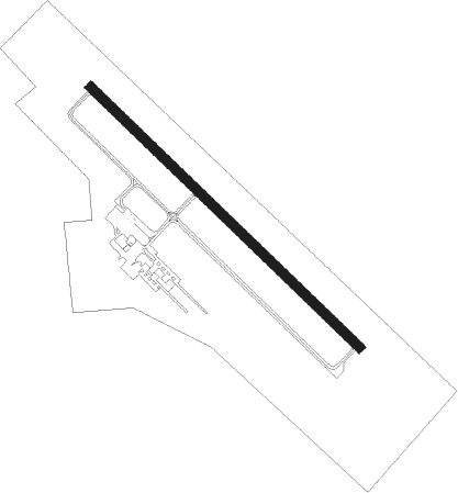
Litchfield - Litchfield Muni
Airport details
| Country | United States of America |
| State | Minnesota |
| Region | K3 |
| Airspace | Minneapolis Ctr |
| Municipality | Meeker County |
| Elevation | 1140ft (347m) |
| Timezone | GMT -6 |
| Coordinates | 45.09714, -94.50725 |
| Magnetic var | |
| Type | land |
| Available since | X-Plane v10.40 |
| ICAO code | KLJF |
| IATA code | n/a |
| FAA code | LJF |
Communication
| Litchfield Muni CTAF | 122.900 |
Nearby Points of Interest:
Brightwood Beach Cottage
-Litchfield Opera House
-Universal Laboratories Building
-Cokato Temperance Hall
-Merton S. Goodnow House
-Howard Lake City Hall
-the thayer
-St. Mark's Episcopal Chapel
-Ferdinand Peters House
-Eugene Hermanutz House
-John Oster House
-Waverly Village Hall
-Marysville Swedesburg Lutheran Church
-Clark and McCormack Quarry and House
-Dr. E.P. Hawkins Clinic, Hospital, and House
-First Congregational Church of Clearwater
-Church of St. Mary Help of Christians-Catholic
-William W. Webster House
-Clearwater Masonic Lodge
-Renville County Courthouse and Jail
-Heins Block
Nearby beacons
| code | identifier | dist | bearing | frequency |
|---|---|---|---|---|
| DWN | DARWIN VORTAC | 2.3 | 100° | 109 |
| BDH | WILLMAR VOR/DME | 26.3 | 272° | 113.70 |
| ST | HUSSK (ST CLOUD) NDB | 32.3 | 55° | 342 |
| STC | SAINT CLOUD VOR/DME | 33.1 | 45° | 112.10 |
| RWF | REDWOOD FALLS VOR/DME | 46.1 | 225° | 113.30 |
| PNM | PRINCETON NDB | 47.2 | 63° | 368 |
| MKT | MANKATO VOR/DME | 58.4 | 146° | 110.80 |
| XCR | RIPLEY NDB | 59.3 | 9° | 404 |
| AXN | ALEXANDRIA VOR/DME | 60 | 320° | 112.80 |
Instrument approach procedures
| runway | airway (heading) | route (dist, bearing) |
|---|---|---|
| RW13 | ARMUW (117°) | ARMUW UNIYI (25mi, 112°) 2900ft |
| RW13 | FITAS (87°) | FITAS UNIYI (23mi, 70°) 2900ft |
| RW13 | UNIYI (129°) | UNIYI 2900ft |
| RNAV | UNIYI 2900ft JEGRU (6mi, 128°) 2800ft KLJF (5mi, 129°) 1179ft ANIML (11mi, 129°) 2800ft ANIML (turn) | |
| RW31 | ANIML (309°) | ANIML 2800ft |
| RW31 | COMOS (26°) | COMOS ANIML (27mi, 51°) 2800ft |
| RW31 | MAYER (289°) | MAYER ANIML (15mi, 276°) 2800ft |
| RNAV | ANIML 2800ft EBVOF (6mi, 309°) 2800ft ZODBA (3mi, 309°) 1680ft KLJF (2mi, 309°) 1179ft UNIYI (11mi, 309°) 2900ft UNIYI (turn) |
Disclaimer
The information on this website is not for real aviation. Use this data with the X-Plane flight simulator only! Data taken with kind consent from X-Plane 12 source code and data files. Content is subject to change without notice.