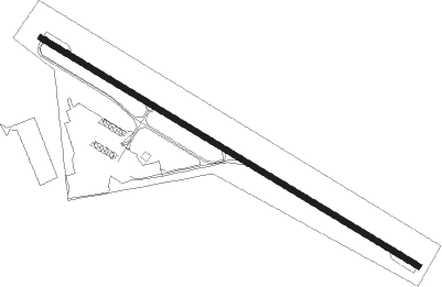
Lake Placid
Airport details
| Country | United States of America |
| State | New York |
| Region | K6 |
| Airspace | Boston Ctr |
| Municipality | Town of North Elba |
| Elevation | 1747ft (532m) |
| Timezone | GMT -5 |
| Coordinates | 44.26448, -73.96187 |
| Magnetic var | |
| Type | land |
| Available since | X-Plane v10.40 |
| ICAO code | KLKP |
| IATA code | LKP |
| FAA code | LKP |
Communication
| Lake Placid CTAF/UNICOM | 122.800 |
Nearby Points of Interest:
John Brown Farm State Historic Site
-United States Post Office
-Will Rogers Memorial Hospital
-Walton Bridge
-Marquay Cottage
-Partridge Cottage
-Magill Cottage
-Hopkins Cottage
-Pittenger Cottage
-Schrader-Griswold Cottage
-Bogie Cottage
-Witherspoon Cottage
-Peyton Clark Cottage
-Distin Cottage
-Stuckman Cottage
-Lane Cottage
-Freer Cottage
-Hill Cottage
-Coulter Cottage
-Fallon Cottage Annex
-Musselman Cottage
-Ames Cottage
-Kennedy Cottage
-Baird Cottage
-E. L. Gray House
Nearby beacons
| code | identifier | dist | bearing | frequency |
|---|---|---|---|---|
| SLK | LAKE DME | 12.6 | 296° | 109.20 |
| BTV | BURLINGTON VOR/DME | 34.4 | 80° | 117.50 |
| BT | HERRO (BURLINGTON) NDB | 34.5 | 69° | 382 |
| BJA | BURLINGTON TACAN | 36.8 | 75° | 112.40 |
| PTD | POTSDAM NDB | 48.1 | 296° | 400 |
| MSS | MASSENA TACAN | 50.8 | 311° | 114.10 |
| MS | MISSE (MASSENA) NDB | 54 | 302° | 278 |
| YJN | DME | 65.5 | 33° | 115.80 |
Instrument approach procedures
| runway | airway (heading) | route (dist, bearing) |
|---|---|---|
| RW14 | PUGRE (105°) | PUGRE 5000ft |
| RNAV | PUGRE 5000ft IRABE (6mi, 105°) 5000ft OPDIE (7mi, 105°) 2420ft (4722mi, 121°) 2420ft PUGRE (4735mi, 301°) 5000ft PUGRE (turn) | |
| RWNVA | HEDUX (285°) | HEDUX 6900ft |
| RNAV | HEDUX 6900ft CELVU (8mi, 285°) 6100ft FAPIM (4mi, 285°) 4500ft UHVEF (3mi, 285°) 3160ft (4720mi, 121°) 3160ft PUGRE (4735mi, 301°) 5000ft PUGRE (turn) |
Disclaimer
The information on this website is not for real aviation. Use this data with the X-Plane flight simulator only! Data taken with kind consent from X-Plane 12 source code and data files. Content is subject to change without notice.
