Louisville - Louisville Winston County
Airport details
| Country | United States of America |
| State | Mississippi |
| Region | K7 |
| Airspace | Memphis Ctr |
| Municipality | Louisville |
| Elevation | 575ft (175m) |
| Timezone | GMT -6 |
| Coordinates | 33.14619, -89.06250 |
| Magnetic var | |
| Type | land |
| Available since | X-Plane v10.40 |
| ICAO code | KLMS |
| IATA code | LMS |
| FAA code | LMS |
Communication
| Louisville Winston County CTAF/UNICOM | 122.700 |
Nearby Points of Interest:
Downtown Philadelphia Historic District
-Old US Post Office
-Goodwin-Harrison House
-Yates-Flora House
-Old First Presbyterian Church
Runway info
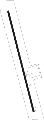
| Runway 17 / 35 | ||
| length | 1379m (4524ft) | |
| bearing | 168° / 348° | |
| width | 23m (75ft) | |
| surface | asphalt | |
Nearby beacons
| code | identifier | dist | bearing | frequency |
|---|---|---|---|---|
| IGB | BIGBEE (COLUMBUS) VORTAC | 34.2 | 58° | 116.20 |
| NMM | MERIDIAN TACAN | 42.9 | 138° | 111.90 |
| CBM | CALEDONIA (COLUMBUS) VORTAC | 43.1 | 52° | 115.20 |
| MEI | MERIDIAN VORTAC | 47.9 | 161° | 117 |
| EWA | DME | 55.8 | 142° | 113.80 |
Instrument approach procedures
| runway | airway (heading) | route (dist, bearing) |
|---|---|---|
| RW17 | AKRMN (168°) | AKRMN 2800ft |
| RNAV | AKRMN 2800ft GUMMM (7mi, 168°) 2400ft WUBGA (4mi, 168°) 1160ft KLMS (2mi, 168°) 594ft (5358mi, 110°) 891ft ZIRIB (5356mi, 290°) 2800ft ZIRIB (turn) | |
| RW35 | ZIRIB (348°) | ZIRIB 2800ft |
| RNAV | ZIRIB 2800ft AGUBY (7mi, 348°) 2400ft KLMS (6mi, 348°) 602ft (5358mi, 110°) 889ft AKRMN (5360mi, 291°) 2800ft AKRMN (turn) |
Disclaimer
The information on this website is not for real aviation. Use this data with the X-Plane flight simulator only! Data taken with kind consent from X-Plane 12 source code and data files. Content is subject to change without notice.