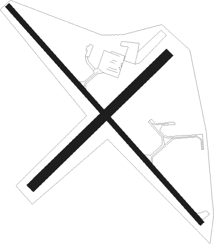
Land O' Lakes - Kings Land O Lakes
Airport details
| Country | United States of America |
| State | Wisconsin |
| Region | K5 |
| Airspace | Minneapolis Ctr |
| Municipality | Town of Land O' Lakes |
| Elevation | 1704ft (519m) |
| Timezone | GMT -6 |
| Coordinates | 46.15412, -89.21197 |
| Magnetic var | |
| Type | land |
| Available since | X-Plane v10.40 |
| ICAO code | KLNL |
| IATA code | n/a |
| FAA code | LNL |
Communication
| Kings Land O Lakes AWOS 3 | 119.525 |
| Kings Land O Lakes CTAF/UNICOM | 122.800 |
Nearby beacons
| code | identifier | dist | bearing | frequency |
|---|---|---|---|---|
| RXW | WATERSMEET NDB | 8.5 | 334° | 407 |
| DO | DOUGY (MINOCQUA WOODRUFF) NDB | 28.9 | 238° | 236 |
| RHI | RHINELANDER VOR/DME | 32.8 | 205° | 109.20 |
| RH | ARSHA (RHINELANDER) NDB | 35.8 | 218° | 272 |
| IWD | IRONWOOD VOR/DME | 44.1 | 292° | 108.80 |
Instrument approach procedures
| runway | airway (heading) | route (dist, bearing) |
|---|---|---|
| RW14 | COTMO (132°) | COTMO TECOL (15mi, 132°) 3500ft |
| RW14 | DINER (213°) | DINER TECOL (11mi, 298°) 3500ft TECOL (turn) 3500ft |
| RW14 | JAYME (20°) | JAYME HURSO (26mi, 339°) 3500ft TECOL (5mi, 62°) 3500ft |
| RNAV | TECOL 3500ft JELAR (6mi, 132°) 3500ft KLNL (6mi, 132°) 1740ft (5372mi, 117°) 2105ft TOLOY (5365mi, 297°) 3500ft TOLOY (turn) | |
| RW32 | CINOP (280°) | CINOP TOLOY (9mi, 242°) 3500ft |
| RW32 | DINER (213°) | DINER TOLOY (14mi, 146°) 3500ft TOLOY (turn) 3500ft |
| RW32 | JAYME (20°) | JAYME TOLOY (15mi, 62°) 3500ft |
| RNAV | TOLOY 3500ft JOLNA (6mi, 313°) 3500ft WATOL (4mi, 312°) 2260ft KLNL (2mi, 312°) 1744ft (5372mi, 117°) 2105ft TECOL (5380mi, 297°) 3500ft TECOL (turn) |
Disclaimer
The information on this website is not for real aviation. Use this data with the X-Plane flight simulator only! Data taken with kind consent from X-Plane 12 source code and data files. Content is subject to change without notice.

