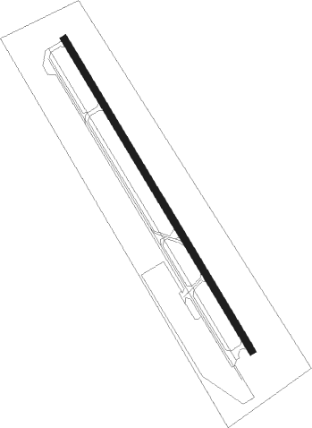
Los Banos - Los Banos Muni
Airport details
| Country | United States of America |
| State | California |
| Region | K2 |
| Airspace | Oakland Ctr |
| Municipality | Los Banos |
| Elevation | 119ft (36m) |
| Timezone | GMT -8 |
| Coordinates | 37.06389, -120.86986 |
| Magnetic var | |
| Type | land |
| Available since | X-Plane v10.40 |
| ICAO code | KLSN |
| IATA code | LSN |
| FAA code | LSN |
Communication
| Los Banos Muni AWOS 3 | 118.675 |
| Los Banos Muni CTAF/UNICOM | 122.800 |
| Los Banos Muni NORCAL Approach/Departure | 120.950 |
Nearby Points of Interest:
Church of St. Joseph
-Bank of Los Banos Building
-Pacheco Pass
-Bloss Mansion
-Bank of Italy
-United States Post Office (Merced, California)
-Merced County High School
-Thomas H. Leggett House
-Maj. George Beecher Cook House
-Leggett House
-Kaehler-Rector House
-Downtown Hollister Historic District
-Hollister Carnegie Library
Runway info
| Runway 14 / 32 | ||
| length | 1160m (3806ft) | |
| bearing | 148° / 328° | |
| width | 23m (75ft) | |
| surface | asphalt | |
| blast zone | 50m (164ft) / 50m (164ft) | |
Nearby beacons
| code | identifier | dist | bearing | frequency |
|---|---|---|---|---|
| PXN | PANOCHE VORTAC | 21.3 | 165° | 112.60 |
| HYP | EL NIDO (MERCED) VOR/DME | 24.3 | 72° | 114.20 |
| MOD | MODESTO VOR/DME | 34.1 | 351° | 114.60 |
| SNS | SALINAS VORTAC | 42.6 | 241° | 117.30 |
| UAD | CHUALAR (SALINAS) NDB | 45 | 227° | 263 |
| LV | REIGA (LIVERMORE) NDB | 54.1 | 308° | 374 |
| NLC | NAVY LEMOORE TACAN | 61.3 | 129° | 113.30 |
| BSR | BIG SUR VORTAC | 64.7 | 221° | 114 |
Instrument approach procedures
| runway | airway (heading) | route (dist, bearing) |
|---|---|---|
| RW14 | PATYY (157°) | PATYY FOSDI (12mi, 170°) 3300ft |
| RNAV | FOSDI 3300ft EGSOW (10mi, 148°) 1800ft COGIS (4mi, 148°) 660ft KLSN (2mi, 148°) 151ft (6857mi, 107°) 455ft GEZJO (6856mi, 287°) PXN (20mi, 167°) 6500ft PXN (turn) 6500ft | |
| RW32 | MENDO (308°) | MENDO ILESE (12mi, 287°) 3600ft |
| RW32 | PXN (345°) | PXN ILESE (8mi, 23°) 3600ft |
| RNAV | ILESE 3600ft LUMTY (8mi, 328°) 2200ft HEBTA (2mi, 328°) 1800ft GEZJO (4mi, 328°) 680ft KLSN (2mi, 328°) 159ft (6857mi, 107°) 520ft COGIS (6857mi, 287°) VOLTA (12mi, 335°) 3000ft VOLTA (turn) |
Disclaimer
The information on this website is not for real aviation. Use this data with the X-Plane flight simulator only! Data taken with kind consent from X-Plane 12 source code and data files. Content is subject to change without notice.
