Luray - Luray Caverns
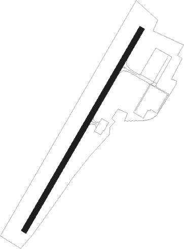
Airport details
| Country | United States of America |
| State | Virginia |
| Region | K6 |
| Airspace | Washington Ctr |
| Municipality | Page County |
| Elevation | 901ft (275m) |
| Timezone | GMT -5 |
| Coordinates | 38.66671, -78.50084 |
| Magnetic var | |
| Type | land |
| Available since | X-Plane v10.40 |
| ICAO code | KLUA |
| IATA code | n/a |
| FAA code | n/a |
Communication
| Luray Caverns AWOS-3 | 118.275 |
| Luray Caverns CTAF/UNICOM | 122.800 |
Nearby Points of Interest:
Mauck's Meetinghouse
-Fort Egypt
-Page County Courthouse
-Aventine Hall
-Luray Norfolk and Western Passenger Station
-The White House
-Kanawha (Luray, Virginia)
-Heiston-Strickler House
-Ruffner House
-Isaac Spitler House
-Wall Brook Farm
-Massanutton Heights
-John Beaver House
-Stover House
-Fort Philip Long
-Abram and Sallie Printz Farm
-Graves Chapel and Cemetery
-Locust Grove
-Massanutten Lodge
-New Market Battlefield State Historical Park
-New Market Historic District (New Market, Virginia)
-J.W.R. Moore House
-Corbin Cabin
-Skyline Drive Historic District
-Marys Rock Tunnel
Nearby beacons
| code | identifier | dist | bearing | frequency |
|---|---|---|---|---|
| LUA | CAVERNS (LURAY) NDB | 2.3 | 41° | 245 |
| LDN | LINDEN VORTAC | 17.8 | 58° | 114.30 |
| CSN | CASANOVA VORTAC | 29.8 | 92° | 116.30 |
| MSQ | NAILR (CULPEPER) NDB | 30.7 | 110° | 351 |
| SH | STAUT(STAUNTON-WAYNESBORO-HARR NDB | 35.2 | 224° | 375 |
| ESL | KESSEL VOR/DME | 40.5 | 319° | 110.80 |
| GVE | GORDONSVILLE VORTAC | 42.5 | 152° | 115.60 |
| MRB | MARTINSBURG VORTAC | 52.8 | 42° | 112.10 |
| MOL | MONTEBELLO VOR/DME | 54.1 | 218° | 115.30 |
| GRV | DME | 63.5 | 330° | 112.30 |
Instrument approach procedures
| runway | airway (heading) | route (dist, bearing) |
|---|---|---|
| RW04 | CEROL (40°) | CEROL IMIYU (11mi, 38°) 5000ft |
| RW04 | ZEDPA (21°) | ZEDPA IMIYU (13mi, 357°) 5000ft |
| RNAV | IMIYU 5000ft TAYUK (4mi, 41°) 4000ft KLUA (10mi, 41°) 942ft (4867mi, 116°) 1303ft JORGI (4866mi, 296°) LDN (15mi, 60°) 5000ft LDN (turn) | |
| RW22 | LDN (238°) | LDN RECUF (7mi, 261°) 4200ft |
| RNAV | RECUF 4200ft FAVOV (5mi, 221°) 3100ft KLUA (7mi, 221°) 942ft (4867mi, 116°) 1303ft FIBIR (4869mi, 296°) SAHDO (8mi, 209°) 6000ft SAHDO (turn) |
Disclaimer
The information on this website is not for real aviation. Use this data with the X-Plane flight simulator only! Data taken with kind consent from X-Plane 12 source code and data files. Content is subject to change without notice.