Lampasas
Airport details
| Country | United States of America |
| State | Texas |
| Region | K4 |
| Airspace | Houston Oceanic Ctr |
| Municipality | Lampasas |
| Elevation | 1213ft (370m) |
| Timezone | GMT -5 |
| Coordinates | 31.10619, -98.19592 |
| Magnetic var | |
| Type | land |
| Available since | X-Plane v10.40 |
| ICAO code | KLZZ |
| IATA code | n/a |
| FAA code | LZZ |
Communication
| Lampasas AWOS 3 | 119.075 |
| Lampasas CTAF/UNICOM | 122.800 |
| Lampasas GRAY Approach/Departure | 120.075 |
Nearby Points of Interest:
US 190 Bridge at the Colorado River
-Burnet County Courthouse
-Texas Park Road 4
-Longhorn Cavern Administration Building
-Mills County Courthouse
-Austin and Northwestern Railroad Historic District-Fairland to Llano
-Coryell County Courthouse
-Badu Building
-Llano County Courthouse and Jail
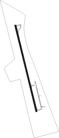
Runway info
| Runway 16 / 34 | ||
| length | 1284m (4213ft) | |
| bearing | 169° / 349° | |
| width | 23m (75ft) | |
| surface | asphalt | |
Nearby beacons
| code | identifier | dist | bearing | frequency |
|---|---|---|---|---|
| AGJ | GOOCH SPRINGS VORTAC | 5.5 | 34° | 112.50 |
| GRK | GRAY (FORT HOOD) VOR/DME | 20.1 | 101° | 111.80 |
| IL | IRESH (KILLEEN) NDB | 25.5 | 100° | 278 |
| LLO | LLANO VORTAC | 35.6 | 242° | 108.20 |
| TPL | DME | 40.1 | 82° | 110.40 |
| CWK | CENTEX VORTAC | 55.6 | 138° | 112.80 |
| ACT | WACO VORTAC | 58 | 59° | 115.30 |
| STV | STONEWALL VORTAC | 60 | 210° | 113.80 |
| BWD | BROWNWOOD VOR/DME | 61.2 | 316° | 108.60 |
Instrument approach procedures
| runway | airway (heading) | route (dist, bearing) |
|---|---|---|
| RW34 | HUGOD (349°) | HUGOD 6000ft HUGOD (turn) 3200ft |
| RW34 | JODEB (325°) | JODEB HUGOD (5mi, 262°) 3200ft |
| RW34 | LLO (62°) | LLO NOTAW (28mi, 80°) 3200ft HUGOD (5mi, 82°) 3200ft |
| RNAV | HUGOD 3200ft CUDEG (7mi, 349°) 2800ft KLZZ (5mi, 349°) 1196ft (5826mi, 108°) 1614ft GUBVE (5827mi, 288°) AGJ (4mi, 74°) 3000ft AGJ (turn) |
Disclaimer
The information on this website is not for real aviation. Use this data with the X-Plane flight simulator only! Data taken with kind consent from X-Plane 12 source code and data files. Content is subject to change without notice.