Minden - Minden Tahoe
Airport details
| Country | United States of America |
| State | Nevada |
| Region | K2 |
| Airspace | Oakland Ctr |
| Municipality | Douglas County |
| Elevation | 4726ft (1440m) |
| Timezone | GMT -8 |
| Coordinates | 39.00045, -119.75100 |
| Magnetic var | |
| Type | land |
| Available since | X-Plane v10.40 |
| ICAO code | KMEV |
| IATA code | MEV |
| FAA code | MEV |
Communication
| Minden Tahoe AWOS 3 | 119.325 |
| Minden Tahoe CTAF/UNICOM | 122.800 |
| Minden Tahoe RENO Approach/Departure | 119.200 |
Nearby Points of Interest:
Douglas County Courthouse
-Minden Wool Warehouse
-Minden Flour Milling Company
-Farmer's Bank of Carson Valley
-Carson Valley Improvement Club Hall
-Gardnerville Branch Jail
-Reese-Johnson-Virgin House
-Wabuska Railroad Station
-Virginia and Truckee 27
-Carson City Civic Auditorium
-De’ek wadapush
-Ormsby-Rosser House
-Sears-Ferris House
-William Spence House
-Nevada State Printing Office
-Carson Brewing Company
-Nevada State Capitol
-Rinckel Mansion
-Olcovich-Meyers House
-Carson City Public Buildings
-Gov. James W. Nye Mansion
-Leport-Toupin House
-Gov. Reinhold Sadler House
-Kitzmeyer Furniture Factory
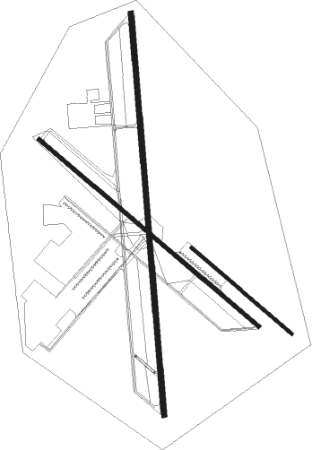
Runway info
Runway 12 / 30  | ||
| length | 1617m (5305ft) | |
| bearing | 128° / 308° | |
| width | 23m (75ft) | |
| surface | asphalt | |
| Runway 16 / 34 | ||
| length | 2258m (7408ft) | |
| bearing | 180° / 360° | |
| width | 30m (100ft) | |
| surface | asphalt | |
| Runway 12L / 30R | ||
| length | 739m (2425ft) | |
| bearing | 128° / 308° | |
| width | 18m (60ft) | |
| surface | dirt | |
Nearby beacons
| code | identifier | dist | bearing | frequency |
|---|---|---|---|---|
| SWR | SQUAW VALLEY(SOUTH LAKE T VOR/DME | 26.4 | 289° | 113.20 |
| FMG | MUSTANG (RENO) VORTAC | 32.1 | 10° | 117.90 |
| HZN | HAZEN VORTAC | 46.7 | 56° | 114.10 |
| HNW | HANGTOWN (PLACERVILLE) VOR/DME | 49.5 | 255° | 115.50 |
Departure and arrival routes
| Transition altitude | 18000ft |
| Transition level | 18000ft |
| SID end points | distance | outbound heading | |
|---|---|---|---|
| RW34 | |||
| MINDN2 | 19mi | 29° | |
Instrument approach procedures
| runway | airway (heading) | route (dist, bearing) |
|---|---|---|
| RWNVA | HUYJO (158°) | HUYJO YETDU (3mi, 109°) 10300ft OZEDU (4mi, 109°) 9400ft |
| RWNVA | VIKES (209°) | VIKES OZEDU (8mi, 235°) 9400ft |
| RNAV | OZEDU 9400ft IVECI (6mi, 209°) 8100ft KMEV (7mi, 174°) 4748ft (6767mi, 108°) 5124ft VIKES (6754mi, 288°) 11000ft VIKES (turn) 11000ft | |
| RWNVB | SPOOK (54°) | SPOOK IRPOH (24mi, 82°) 12300ft VOKXY (6mi, 0°) 10400ft |
| RNAV | VOKXY 10400ft VACNU (6mi, 0°) 8800ft GOWVO (6mi, 0°) 5086ft (6768mi, 108°) 5124ft VIKES (6754mi, 288°) 11000ft VIKES (turn) 11000ft |
Disclaimer
The information on this website is not for real aviation. Use this data with the X-Plane flight simulator only! Data taken with kind consent from X-Plane 12 source code and data files. Content is subject to change without notice.