Picayune - Picayune Muni
Airport details
| Country | United States of America |
| State | Mississippi |
| Region | K7 |
| Airspace | Houston Oceanic Ctr |
| Municipality | Pearl River County |
| Elevation | 56ft (17m) |
| Timezone | GMT -6 |
| Coordinates | 30.48747, -89.65119 |
| Magnetic var | |
| Type | land |
| Available since | X-Plane v10.40 |
| ICAO code | KMJD |
| IATA code | n/a |
| FAA code | MJD |
Communication
| Picayune Muni AWOS 3 | 119.075 |
| Picayune Muni CTAF/UNICOM | 122.800 |
| Picayune Muni GULFPORT | 124.600 |
Nearby Points of Interest:
Francois Cousin House
-Robert "Bob" Hicks House
-Abita Springs Historic District
-Bogalusa Post Office
-Bogalusa City Hall
-Fontainebleau State Park
-Dew Drop Social and Benevolent Hall
-Johnson House
-Griffin's Bakery
-Christ Episcopal Church
-Madisonville Town Hall
-W.J. Quarles House and Cottage
-George Austin McHenry House
-United States Post Office and Customhouse
-Turkey Creek Community Historic District
-Gulfport Army Air Field Hangar
-Grass Lawn
-Gulfport Veterans Administration Medical Center Historic District
-John Ford Home
-Thomas M. Babington House
-Greenlaw House
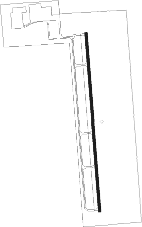
Runway info
| Runway 18 / 36 | ||
| length | 1529m (5016ft) | |
| bearing | 180° / 0° | |
| width | 23m (75ft) | |
| surface | asphalt | |
Nearby beacons
| code | identifier | dist | bearing | frequency |
|---|---|---|---|---|
| PCU | PICAYUNE VOR/DME | 6 | 313° | 113.95 |
| HS | HANCO (BAY ST LOUIS) NDB | 10.3 | 100° | 221 |
| GP | BAYOU NDB | 25.3 | 90° | 360 |
| GVB | BOGALUSA NDB | 26 | 332° | 353 |
| GPT | GULFPORT VORTAC | 30.1 | 98° | 109 |
| BIX | KEESLER (BILOXI) TACAN | 37.6 | 96° | 111.80 |
| HP | ANGER (HAMMOND) NDB | 40.4 | 279° | 212 |
| HRV | HARVEY (NEW ORLEANS) VORTAC | 42.4 | 209° | 114.10 |
| MS | KINTE (NEW ORLEANS) NDB | 47.7 | 238° | 338 |
| RQR | RESERVE VOR/DME | 54.2 | 247° | 110.80 |
| MCB | MC COMB VORTAC | 58.1 | 323° | 116.70 |
| LBY | EATON (HATTIESBURG) VORTAC | 58.2 | 19° | 110.60 |
| MC | FERNI (MCCOMB) NDB | 63.9 | 312° | 413 |
Instrument approach procedures
| runway | airway (heading) | route (dist, bearing) |
|---|---|---|
| RW18-Y | CIQYI (180°) | CIQYI 6000ft CIQYI (turn) 1800ft |
| RNAV | CIQYI 1800ft ASAGE (7mi, 180°) 1800ft HAPAV (2mi, 180°) 1040ft XOPXY (3mi, 180°) 251ft (5387mi, 109°) 560ft CIQYI (5387mi, 289°) 1800ft CIQYI (turn) | |
| RW18-Z | CIQYI (180°) | CIQYI 1800ft |
| RNAV | CIQYI 1800ft ASAGE (7mi, 180°) 1800ft HAPAV (2mi, 180°) 1040ft KMJD (3mi, 180°) 91ft (5387mi, 109°) 1200ft CIQYI (5387mi, 289°) 1800ft CIQYI (turn) | |
| RW36 | WISKO (0°) | WISKO 2000ft |
| RNAV | WISKO 2000ft ZIBAX (8mi, 0°) 2000ft BUNVE (3mi, 0°) 1140ft KMJD (4mi, 0°) 92ft (5387mi, 109°) 304ft CIQYI (5387mi, 289°) 1800ft CIQYI (turn) |
Disclaimer
The information on this website is not for real aviation. Use this data with the X-Plane flight simulator only! Data taken with kind consent from X-Plane 12 source code and data files. Content is subject to change without notice.