Miller - Miller Muni
Airport details
| Country | United States of America |
| State | South Dakota |
| Region | K3 |
| Airspace | Minneapolis Ctr |
| Municipality | Hand County |
| Elevation | 1567ft (478m) |
| Timezone | GMT -6 |
| Coordinates | 44.52524, -98.95808 |
| Magnetic var | |
| Type | land |
| Available since | X-Plane v10.40 |
| ICAO code | KMKA |
| IATA code | n/a |
| FAA code | MKA |
Communication
| Miller Muni CTAF | 122.900 |
Nearby Points of Interest:
Redfield Carnegie Library
-Old Redfield City Hall
-Spink County Courthouse
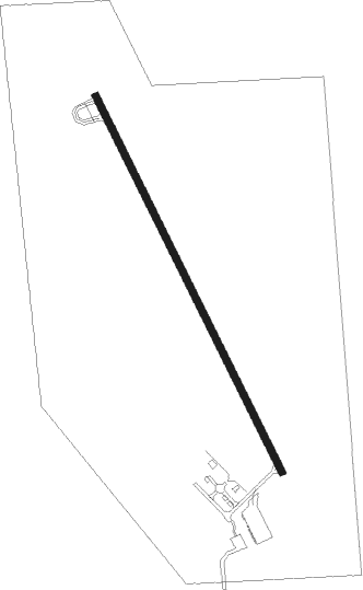
Runway info
| Runway 15 / 33 | ||
| length | 1098m (3602ft) | |
| bearing | 151° / 331° | |
| width | 18m (60ft) | |
| surface | asphalt | |
Nearby beacons
| code | identifier | dist | bearing | frequency |
|---|---|---|---|---|
| HO | BEADY (HURON) NDB | 27 | 97° | 302 |
| HON | DME | 28.1 | 97° | 117.60 |
| AB | RENEY (ABERDEEN) NDB | 58.2 | 36° | 203 |
| ABR | ABERDEEN VOR/DME | 59.1 | 33° | 113 |
| MHE | MITCHELL VOR/DME | 59.9 | 129° | 109.20 |
Instrument approach procedures
| runway | airway (heading) | route (dist, bearing) |
|---|---|---|
| RW15 | CHANS (77°) | CHANS FRODO (16mi, 44°) 3600ft CLANN (7mi, 74°) 3200ft |
| RW15 | CLANN (151°) | CLANN 3200ft |
| RW15 | HON (277°) | HON OCADE (30mi, 296°) 3200ft CLANN (7mi, 254°) 3200ft |
| RW15 | LIVVA (111°) | LIVVA FRODO (16mi, 108°) 4000ft CLANN (7mi, 74°) 3200ft |
| RW15 | TULLA (247°) | TULLA OCADE (24mi, 264°) 3200ft CLANN (7mi, 254°) 3200ft |
| RNAV | CLANN 3200ft PALLS (5mi, 150°) 3200ft KMKA (5mi, 151°) 1600ft (5788mi, 114°) 1883ft TERNR (5785mi, 294°) 3700ft TERNR (turn) | |
| RW33 | CHANS (77°) | CHANS SQUAW (18mi, 104°) 3700ft TERNR (7mi, 74°) 3700ft |
| RW33 | HON (277°) | HON ONDUC (17mi, 264°) 3700ft TERNR (7mi, 254°) 3700ft |
| RW33 | KAATS (328°) | KAATS TERNR (27mi, 327°) 3700ft |
| RW33 | TERNR (331°) | TERNR 3700ft |
| RW33 | TULLA (247°) | TULLA ONDUC (29mi, 224°) 3700ft TERNR (7mi, 254°) 3700ft |
| RNAV | TERNR 3700ft ZONZO (5mi, 331°) 3400ft PATGE (3mi, 331°) 2340ft KMKA (3mi, 331°) 1610ft (5788mi, 114°) 1970ft CLANN (5791mi, 294°) 3200ft CLANN (turn) |
Disclaimer
The information on this website is not for real aviation. Use this data with the X-Plane flight simulator only! Data taken with kind consent from X-Plane 12 source code and data files. Content is subject to change without notice.