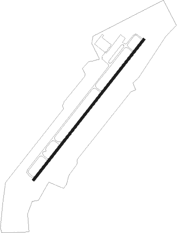
Moncks Corner - Berkeley County
Airport details
| Country | United States of America |
| State | South Carolina |
| Region | K7 |
| Airspace | Jacksonville Ctr |
| Municipality | Berkeley County |
| Elevation | 73ft (22m) |
| Timezone | GMT -5 |
| Coordinates | 33.18550, -80.03625 |
| Magnetic var | |
| Type | land |
| Available since | X-Plane v10.40 |
| ICAO code | KMKS |
| IATA code | n/a |
| FAA code | MKS |
Communication
| Berkeley County AWOS-3 | 119.175 |
| Berkeley County CTAF/UNICOM | 123.050 |
| Berkeley County CHARLESTON Approach | 119.300 |
| Berkeley County CHARLESTON Departure | 119.300 |
Nearby Points of Interest:
Lewisfield Plantation
-Pineville Historic District
-Mulberry Plantation (Moncks Corner, South Carolina)
-Cypress Methodist Camp Ground
-Medway
-Middleburg Plantation
-Lawson's Pond Plantation
-Santee Canal
-Loch Dhu
-Old White Meeting House Ruins and Cemetery
-White Church
-Francis Beidler Forest
-Ashley River Historic District
-Numertia Plantation
-Middleton Place
-General Asbestos and Rubber Company Main Mill
-Eutaw Springs Battleground Park
-Drayton Hall
-Charleston Navy Yard Officers' Quarters Historic District
-Charleston Naval Shipyard
-H. L. Hunley
-St. Andrews Episcopal Church
-Standard Oil Company Headquarters
-Boone Hall
-St. Paul Camp Ground
Nearby beacons
| code | identifier | dist | bearing | frequency |
|---|---|---|---|---|
| CH | ASHLY (CHARLESTON) NDB | 12.9 | 196° | 329 |
| DYB | DORCHESTER COUNTY(SUMMERVILLE) NDB | 14.2 | 243° | 365 |
| CHS | CHARLESTON VORTAC | 17.4 | 180° | 113.50 |
| MNI | MANNING NDB | 25.6 | 337° | 381 |
| VAN | VANCE VORTAC | 27 | 305° | 110.40 |
| PHH | ANDREWS NDB | 30.1 | 62° | 255 |
| CFY | EVANS (LAKE CITY) NDB | 42.4 | 22° | 420 |
| SMS | SUMTER NDB | 51 | 338° | 252 |
| SSC | SHAW (SUMTER) TACAN | 52.2 | 332° | 110.10 |
| NBC | BEAUFORT TACAN | 54.6 | 224° | 110.50 |
| MMT | MC ENTIRE (COLUMBIA) VORTAC | 58.6 | 314° | 113.20 |
| HYW | HORRY (CONWAY) NDB | 59.4 | 55° | 370 |
| FL | ALCOT (FLORENCE) NDB | 60 | 11° | 335 |
Instrument approach procedures
| runway | airway (heading) | route (dist, bearing) |
|---|---|---|
| RW05 | CHS (0°) | CHS VACUV (7mi, 323°) 2000ft ZAVIK (5mi, 308°) 2000ft |
| RW05 | GRECI (101°) | GRECI PIYIV (12mi, 133°) 2000ft ZAVIK (5mi, 128°) 2000ft |
| RW05 | ZAVIK (48°) | ZAVIK 2000ft |
| RNAV | ZAVIK 2000ft WILRO (6mi, 48°) 1600ft KMKS (5mi, 48°) 119ft URICU (5mi, 48°) CUBBY (16mi, 107°) 2000ft CUBBY (turn) | |
| RW23 | CUBBY (275°) | CUBBY ZEDBI (10mi, 308°) 2000ft WEDEP (5mi, 308°) 2000ft |
| RW23 | VAN (125°) | VAN WEKAG (25mi, 101°) 2000ft WEDEP (5mi, 128°) 2000ft |
| RNAV | WEDEP 2000ft URICU (6mi, 228°) 1600ft YENUD (3mi, 228°) 680ft KMKS (2mi, 228°) 125ft WILRO (5mi, 228°) GRECI (18mi, 293°) 2000ft GRECI (turn) |
Disclaimer
The information on this website is not for real aviation. Use this data with the X-Plane flight simulator only! Data taken with kind consent from X-Plane 12 source code and data files. Content is subject to change without notice.