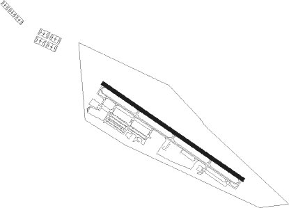
Omaha - Millard
Airport details
| Country | United States of America |
| State | Nebraska |
| Region | K3 |
| Airspace | Minneapolis Ctr |
| Municipality | Omaha |
| Elevation | 1049ft (320m) |
| Timezone | GMT -6 |
| Coordinates | 41.19599, -96.11227 |
| Magnetic var | |
| Type | land |
| Available since | X-Plane v10.40 |
| ICAO code | KMLE |
| IATA code | n/a |
| FAA code | MLE |
Communication
| Millard AWOS 3 | 118.250 |
| Millard CTAF/UNICOM | 123.000 |
| Millard OMAHA ApproachROACH | 120.100 |
| Millard OMAHA DepartureARTURE | 120.100 |
Nearby Points of Interest:
John Sautter Farmhouse
-Boys Town
-Robbins School
-Dundee-Happy Hollow Historic District
-Saddle Creek Underpass
-Livestock Exchange Building
-Country Club Historic District
-Bradford-Pettis House
-Columbian School
-Field Club
-West Farnam Apartments
-Brandeis–Millard House
-Charles D. McLaughlin House
-Military Road
-Joslyn Castle
-Boulevards in Omaha, Nebraska
-Gottlieb Storz House
-Packer's National Bank Building
-South Omaha Main Street Historic District
-Gold Coast Historic District
-St. Martin of Tours Episcopal Church
-Havens-Page House
-Dr. Samuel D. Mercer House
-Park School
-Normandie Apartments
Nearby beacons
| code | identifier | dist | bearing | frequency |
|---|---|---|---|---|
| OFF | OFFUTT (OMAHA) TACAN | 10.6 | 110° | 111.70 |
| OVR | OMAHA VORTAC | 17 | 94° | 116.30 |
| PMV | PLATTSMOUTH NDB | 17.6 | 142° | 329 |
| AHQ | WAHOO NDB | 22.1 | 275° | 400 |
| LNK | LINCOLN VORTAC | 32.8 | 247° | 116.10 |
| SCB | SCRIBNER VOR/DME | 33.8 | 308° | 111 |
| AFK | NEBRASKA CITY NDB | 37.2 | 157° | 347 |
| LN | POTTS (LINCOLN) NDB | 39.9 | 235° | 385 |
| PWE | PAWNEE CITY VORTAC | 59.9 | 185° | 112.40 |
| BIE | BEATRICE VOR | 61.1 | 216° | 110.60 |
Instrument approach procedures
| runway | airway (heading) | route (dist, bearing) |
|---|---|---|
| RW12 | EYNEW (145°) | EYNEW 4000ft NIMMU (5mi, 227°) 4000ft |
| RW12 | NIMMU (121°) | NIMMU 4000ft |
| RW12 | SUCBO (102°) | SUCBO 4000ft NIMMU (5mi, 47°) 4000ft |
| RNAV | NIMMU 4000ft IBOXY (6mi, 121°) 2800ft KMLE (6mi, 121°) 1090ft HOLUL (6mi, 121°) LEBYI (14mi, 250°) 4000ft LEBYI (turn) | |
| RW30 | KODPE (301°) | KODPE 4000ft |
| RW30 | TIVRE (325°) | TIVRE 4000ft KODPE (5mi, 47°) 4000ft |
| RW30 | UCELA (282°) | UCELA 4000ft KODPE (5mi, 227°) 4000ft |
| RNAV | KODPE 4000ft JEKUK (6mi, 301°) 2800ft KMLE (6mi, 301°) 1089ft (5681mi, 113°) 1451ft ICAYI (5685mi, 293°) LEBYI (14mi, 197°) 4000ft LEBYI (turn) |
Disclaimer
The information on this website is not for real aviation. Use this data with the X-Plane flight simulator only! Data taken with kind consent from X-Plane 12 source code and data files. Content is subject to change without notice.