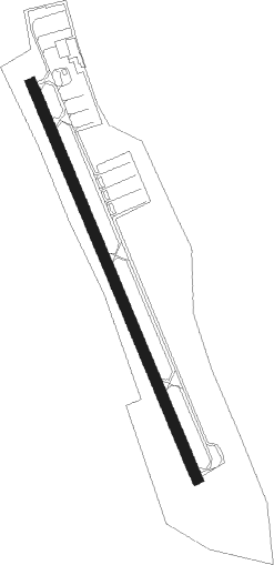
Meriden - Meriden Markham Municipal
Airport details
| Country | United States of America |
| State | Connecticut |
| Region | K6 |
| Airspace | Boston Ctr |
| Municipality | Wallingford |
| Elevation | 103ft (31m) |
| Timezone | GMT -5 |
| Coordinates | 41.50871, -72.82948 |
| Magnetic var | |
| Type | land |
| Available since | X-Plane v10.30 |
| ICAO code | KMMK |
| IATA code | n/a |
| FAA code | MMK |
Communication
| Meriden Markham Municipal ASOS | 134.925 |
| Meriden Markham Municipal CTAF | 123.050 |
| Meriden Markham Municipal Approach/Departure | 127.800 |
Nearby Points of Interest:
Red Bridge
-Moses Andrews House
-Charter Oak Firehouse
-Colony Street-West Main Street Historic District
-Curtis Memorial Library
-United States Post Office–Meriden Main
-Nehemiah Royce House
-Samuel Simpson House
-Solomon Goffe House
-Franklin Johnson House
-Avery Clark House
-Samuel Parsons House
-Wallingford Center
-William Ward Jr. House
-Dr. J. Porter House
-Urbana Woodruff House
-Ezekiel Woodruff House
-Atwater Manufacturing Company
-Dr. Henry Skelton House
-David Lyman II House
-Capt. Samuel Woodruff House
-Woodruff House
-Highland Historic District
-Barnes-Frost House
-Levi B. Frost House
Nearby beacons
| code | identifier | dist | bearing | frequency |
|---|---|---|---|---|
| MAD | MADISON VOR/DME | 13.2 | 145° | 110.40 |
| HFD | HARTFORD VOR/DME | 14.9 | 65° | 114.90 |
| HVN | HAVEN DME | 15 | 193° | 109.80 |
| BDR | BRIDGEPORT VOR/DME | 24.7 | 220° | 108.80 |
| CCC | CALVERTON VOR/DME | 34.8 | 177° | 117.20 |
| CMK | CARMEL VOR/DME | 36.5 | 253° | 116.60 |
| GON | GROTON VOR/DME | 36.6 | 103° | 110.85 |
| ORW | NORWICH VOR/DME | 37.4 | 87° | 110 |
| PWL | PAWLING (POUGHKEEPSIE) VOR/DME | 37.9 | 289° | 114.30 |
| BAF | BARNES (WESTFIELD/SPRINGF VORTAC | 39.5 | 10° | 113 |
| FOK | SUFFOLK CO (WESTHAMPTON B TACAN | 41.2 | 164° | 111 |
| HTO | HAMPTON (EAST HAMPTON) VORTAC | 42.3 | 139° | 113.60 |
| CEF | WESTOVER(SPRINGFIELD/CHIC TACAN | 43.5 | 24° | 114 |
| IGN | KINGSTON VOR/DME | 45.5 | 279° | 117.60 |
| CTR | CHESTER VOR/DME | 47.3 | 351° | 115.10 |
| DPK | DEER PARK VOR/DME | 48.1 | 213° | 117.70 |
| PUT | PUTNAM VOR/DME | 51.6 | 66° | 117.40 |
| FR | FRIKK (FARMINGDALE) NDB | 52.9 | 222° | 407 |
| PFH | PHILMONT (HUDSON) NDB | 59.9 | 310° | 272 |
| JFK | KENNEDY (NEW YORK) VOR/DME | 67.7 | 227° | 115.90 |
Instrument approach procedures
| runway | airway (heading) | route (dist, bearing) |
|---|---|---|
| RW36 | MAD (325°) | MAD DIKIE (4mi, 304°) 2000ft |
| RW36 | YODEL (305°) | YODEL DIKIE (5mi, 256°) 2000ft |
| RNAV | DIKIE 2000ft NESSA (4mi, 336°) 1700ft JANOL (2mi, 336°) 960ft KMMK (3mi, 336°) 139ft (4638mi, 120°) 800ft WEGOT (4628mi, 300°) 2500ft WEGOT (turn) |
Disclaimer
The information on this website is not for real aviation. Use this data with the X-Plane flight simulator only! Data taken with kind consent from X-Plane 12 source code and data files. Content is subject to change without notice.