Minot - Minot Intl
Airport details
| Country | United States of America |
| State | North Dakota |
| Region | K3 |
| Airspace | Minneapolis Ctr |
| Municipality | Minot |
| Elevation | 1714ft (522m) |
| Timezone | GMT -6 |
| Coordinates | 48.25764, -101.27803 |
| Magnetic var | |
| Type | land |
| Available since | X-Plane v10.40 |
| ICAO code | KMOT |
| IATA code | MOT |
| FAA code | MOT |
Communication
| MINOT INTL ASOS | 118.725 |
| MINOT INTL CTAF | 118.200 |
| MINOT INTL UNICOM | 122.950 |
| MINOT INTL Ground Control | 121.900 |
| MINOT INTL MAGIC CITY Tower | 118.200 |
| MINOT INTL Approach | 119.600 |
| MINOT INTL Departure | 119.600 |
Approach frequencies
| ILS-cat-I | RW31 | 111.9 | 18.00mi |
| 3° GS | RW31 | 111.9 | 18.00mi |
Nearby Points of Interest:
Minot Industrial Historic District
-Westland Oil Filling Station
-Minot, North Dakota Soo Line Depot
-Union National Bank and Annex
-Tufveson House
-Andrew Carr, Sr., House
-Bruce M. Van Sickle Federal Building and U.S. Courthouse
-Ward County Courthouse
-Granville State Bank
-Alfred and Clara Sevareid House
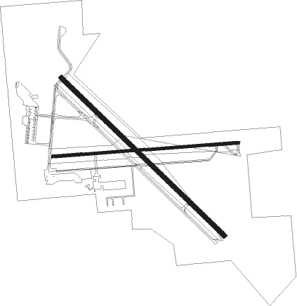
Runway info
Runway 13 / 31  | ||
| length | 2349m (7707ft) | |
| bearing | 127° / 307° | |
| width | 46m (150ft) | |
| surface | concrete | |
| blast zone | 61m (200ft) / 61m (200ft) | |
| Runway 8 / 26 | ||
| length | 1931m (6335ft) | |
| bearing | 90° / 270° | |
| width | 30m (100ft) | |
| surface | asphalt | |
| displ threshold | 119m (390ft) / 0m (0ft) | |
Nearby beacons
| code | identifier | dist | bearing | frequency |
|---|---|---|---|---|
| MOT | MINOT VOR/DME | 0.3 | 287° | 117.10 |
| MIB | DEERING (MINOT) TACAN | 10.1 | 331° | 114.90 |
| HZE | HAZEN NDB | 58.8 | 198° | 414 |
Instrument approach procedures
| runway | airway (heading) | route (dist, bearing) |
|---|---|---|
| RW08 | EGOCE (106°) | EGOCE GEBVE (5mi, 180°) 3900ft |
| RW08 | HIDEL (339°) | HIDEL FEVLA (18mi, 291°) 4200ft GEBVE (5mi, 0°) 3900ft |
| RW08 | MOT (107°) | MOT GEBVE (11mi, 270°) 3900ft GEBVE (turn) 3900ft |
| RW08 | WELOG (91°) | WELOG GEBVE (4mi, 92°) 3900ft |
| RNAV | GEBVE 3900ft IBNEF (5mi, 90°) 3600ft HAXAT (1mi, 90°) 3400ft KMOT (6mi, 90°) 1761ft (5854mi, 115°) 1991ft SIRSE (5843mi, 296°) 3600ft SIRSE (turn) | |
| RW13 | DOYAB (127°) | DOYAB 4500ft |
| RW13 | ORMIE (273°) | ORMIE CONEI (21mi, 311°) 4500ft DOYAB (10mi, 246°) 4500ft |
| RW13 | WELOG (91°) | WELOG CIGEN (7mi, 36°) 4500ft DOYAB (5mi, 59°) 4500ft |
| RNAV | DOYAB 4500ft OROBE (8mi, 127°) 3400ft KMOT (6mi, 127°) 1751ft (5854mi, 115°) 2021ft HEKTA (5848mi, 295°) 4000ft HEKTA (turn) | |
| RW26 | BALTA (273°) | BALTA SIRSE (38mi, 274°) 3600ft |
| RW26 | HIDEL (339°) | HIDEL TIZTO (12mi, 55°) 3600ft SIRSE (5mi, 1°) 3600ft |
| RW26 | MOT (107°) | MOT SIRSE (12mi, 91°) 3600ft SIRSE (turn) 3600ft |
| RW26 | UCARI (255°) | UCARI SIRSE (5mi, 181°) 3600ft |
| RNAV | SIRSE 3600ft REMRE (6mi, 270°) 3400ft KMOT (6mi, 270°) 1708ft (5854mi, 115°) 1932ft GEBVE (5866mi, 295°) 3900ft GEBVE (turn) | |
| RW31 | HEKTA (307°) | HEKTA 3600ft |
| RW31 | HIDEL (339°) | HIDEL HEKTA (6mi, 59°) 3600ft |
| RW31 | ORMIE (273°) | ORMIE JUDIN (5mi, 188°) 3600ft HEKTA (5mi, 239°) 3600ft |
| RNAV | HEKTA 3600ft FONAD (7mi, 307°) 3400ft KMOT (6mi, 307°) 1706ft (5854mi, 115°) 1929ft DOYAB (5862mi, 296°) 4500ft DOYAB (turn) |
Disclaimer
The information on this website is not for real aviation. Use this data with the X-Plane flight simulator only! Data taken with kind consent from X-Plane 12 source code and data files. Content is subject to change without notice.