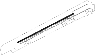
Marathon - The Florida Keys Marathon
Airport details
| Country | United States of America |
| State | Florida |
| Region | K7 |
| Airspace | Miami Oceanic Ctr |
| Municipality | Marathon |
| Elevation | 3ft (1m) |
| Timezone | GMT -5 |
| Coordinates | 24.72619, -81.05136 |
| Magnetic var | |
| Type | land |
| Available since | X-Plane v10.40 |
| ICAO code | KMTH |
| IATA code | MTH |
| FAA code | MTH |
Communication
| The Florida Keys Marathon ASOS | 135.525 |
| The Florida Keys Marathon CTAF/UNICOM | 122.800 |
Nearby beacons
| code | identifier | dist | bearing | frequency |
|---|---|---|---|---|
| MTH | MARATHON NDB | 2.5 | 252° | 260 |
| NQX | NAVY KEY WEST TACAN | 35.5 | 257° | 113.10 |
| FIS | FISH HOOK (KEY WEST) NDB | 41.5 | 256° | 332 |
| EYW | KEY WEST VORTAC | 41.7 | 259° | 113.50 |
| HST | HOMESTEAD TACAN | 58.6 | 41° | 108.20 |
Instrument approach procedures
| runway | airway (heading) | route (dist, bearing) |
|---|---|---|
| RW07 | CARNU (146°) | CARNU JANKA (30mi, 173°) 3100ft JANKA (turn) 3100ft |
| RNAV | JANKA 3100ft SEGLE (6mi, 69°) 1900ft KMTH (6mi, 69°) 45ft (4917mi, 107°) 389ft LOGEY (4908mi, 287°) 2000ft LOGEY (turn) | |
| RW25 | TWNNS (260°) | TWNNS LOGEY (17mi, 266°) 2000ft |
| RNAV | LOGEY 2000ft WATUR (6mi, 249°) 1500ft KMTH (5mi, 249°) 45ft JANKA (12mi, 249°) 3100ft JANKA (turn) |
Disclaimer
The information on this website is not for real aviation. Use this data with the X-Plane flight simulator only! Data taken with kind consent from X-Plane 12 source code and data files. Content is subject to change without notice.
