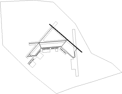
Moultrie - Spence
Airport details
| Country | United States of America |
| State | Georgia |
| Region | K7 |
| Airspace | Jacksonville Ctr |
| Municipality | Moultrie |
| Elevation | 291ft (89m) |
| Timezone | GMT -5 |
| Coordinates | 31.13769, -83.70406 |
| Magnetic var | |
| Type | land |
| Available since | X-Plane v10.40 |
| ICAO code | KMUL |
| IATA code | n/a |
| FAA code | MUL |
Communication
| Spence CTAF/UNICOM | 123.000 |
Nearby Points of Interest:
Colquitt County Jail
-Moultrie Commercial Historic District
-Colquitt County Courthouse
-Carnegie Library of Moultrie
-Colquitt County Arts Center
-James W. Coleman House
-Cook County Courthouse
-SOWEGA Building
-United States Post Office–Adel, Georgia
-D. B. Anderson and Company Building
-Tifton Commercial Historic District
-Tift County Courthouse
-Tifton Residential Historic District
-Glenwood Historic District
-Harris-Ramsey-Norris House
-Joe M. Beutell House
-Sumner High School and auditorium
-Burch-Mitchell House
-Brooks County Courthouse
-Brooks County Jail
-B'nai Israel Synagogue and Cemetery
-Tockwotton-Love Place Historic District
-Lapham–Patterson House
-Augustine Hansell House
-Judge Henry William and Francesca Hopkins House
Nearby beacons
| code | identifier | dist | bearing | frequency |
|---|---|---|---|---|
| MGR | DME | 6.1 | 241° | 108.80 |
| GTP | PATON (THOMASVILLE) NDB | 12.5 | 214° | 245 |
| IFM | TIFT MYERS (TIFTON) VOR | 20.6 | 36° | 112.50 |
| CYR | CAIDY (CAIRO) NDB | 27.8 | 241° | 338 |
| VAD | MOODY (VALDOSTA) TACAN | 28.3 | 109° | 113.30 |
| OTK | VALDOSTA VOR/DME | 30.6 | 130° | 114.80 |
| GEF | GREENVILLE VORTAC | 35.4 | 188° | 109 |
| SUR | FITZGERALD NDB | 35.5 | 41° | 362 |
| OWC | COFFEE COUNTY (DOUGLAS) NDB | 43.1 | 71° | 390 |
| LYZ | WILLIS (BAINBRIDGE) NDB | 43.3 | 259° | 359 |
| PZD | PECAN (ALBANY) VOR/DME | 43.3 | 311° | 116.10 |
| HOE | HOMERVILLE NDB | 48.1 | 95° | 209 |
| SZW | SEMINOLE VORTAC | 49.1 | 229° | 117.50 |
| OHY | CONEY (CORDELE) NDB | 52.2 | 350° | 400 |
| ACJ | SOUTHER (AMERICUS) NDB | 63.5 | 334° | 242 |
| EZM | EASTMAN NDB | 65.9 | 29° | 366 |
| MQW | MC RAE NDB | 71.2 | 41° | 280 |
Disclaimer
The information on this website is not for real aviation. Use this data with the X-Plane flight simulator only! Data taken with kind consent from X-Plane 12 source code and data files. Content is subject to change without notice.