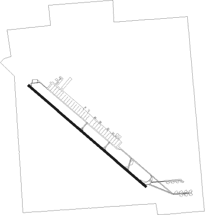
Mountain Home - Mountain Home Afb
Airport details
| Country | United States of America |
| State | Idaho |
| Region | K1 |
| Airspace | Salt Lake City Ctr |
| Municipality | Elmore County |
| Elevation | 2996ft (913m) |
| Timezone | GMT -7 |
| Coordinates | 43.04360, -115.87244 |
| Magnetic var | |
| Type | land |
| Available since | X-Plane v10.40 |
| ICAO code | KMUO |
| IATA code | MUO |
| FAA code | MUO |
Communication
| Mountain Home AFB Clearance DEL | 127.100 |
| Mountain Home AFB Ground Control | 120.500 |
| Mountain Home AFB Tower | 133.850 |
| Mountain Home AFB Approach | 124.800 |
Approach frequencies
| ILS-cat-I | RW30 | 111.7 | 18.00mi |
| ILS-cat-I | RW12 | 110.3 | 18.00mi |
| 2.5° GS | RW30 | 111.7 | 18.00mi |
| 2.5° GS | RW12 | 110.3 | 18.00mi |
Nearby Points of Interest:
Crater Rings
-Mountain Home Carnegie Library
-Elmore County Courthouse
-Bruneau Episcopal Church
-Our Lady, Queen of Heaven Church
-Gorby Opera Theater
-Our Lady of Limerick Catholic Church
Nearby beacons
| code | identifier | dist | bearing | frequency |
|---|---|---|---|---|
| MUO | MOUNTAIN HOME TACAN | 0.2 | 215° | 114 |
| LIA | LIBERATOR VOR | 5.6 | 122° | 114.90 |
| BOI | BOISE VORTAC | 33.6 | 328° | 113.30 |
Disclaimer
The information on this website is not for real aviation. Use this data with the X-Plane flight simulator only! Data taken with kind consent from X-Plane 12 source code and data files. Content is subject to change without notice.