Mount Union - Huntingdon County
Airport details
| Country | United States of America |
| State | Pennsylvania |
| Region | |
| Airspace | Cleveland Ctr |
| Municipality | Shirley Township |
| Elevation | 560ft (171m) |
| Timezone | GMT -5 |
| Coordinates | 40.31427, -77.87830 |
| Magnetic var | |
| Type | land |
| Available since | X-Plane v10.40 |
| ICAO code | KMUU |
| IATA code | n/a |
| FAA code | n/a |
Communication
Nearby Points of Interest:
Benjamin B. Leas House
-Lewis Smalley Homestead
-Harbison-Walker Refractories Company
-H.O. Andrews Feed Mill
-Shade Gap Feed and Flour Mill
-Hudson Grist Mill
-O'Donel House and Farm
-Huntingdon Borough Historic District
-Frehn Bridge
-Lloyd and Henry Warehouse
-Brumbaugh Homestead
-Robertsdale Historic District
-Robb Farm
-Marklesburg Historic District
-Mount Union Historic District
-Burnt Cabins Gristmill Property
-Pulpit Rocks
-McConnellsburg Historic District
-Woodvale Historic District
-Pennsylvania Canal Guard Lock and Feeder Dam, Raystown Branch
-Minersville Coke Ovens
-Israel and Samuel Lupfer Tannery Site and House
-Juniata Iron Works
-Barree Forge and Furnace
-Williamsburg Historic District
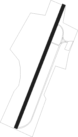
Runway info
| Runway 04 / 22 | ||
| length | 945m (3100ft) | |
| bearing | 33° / 213° | |
| width | 25m (82ft) | |
| surface | gravel | |
Nearby beacons
| code | identifier | dist | bearing | frequency |
|---|---|---|---|---|
| THS | SAINT THOMAS VORTAC | 23.1 | 191° | 115 |
| UN | PENUE (STATE COLLEGE) NDB | 36.3 | 13° | 388 |
| PSB | PHILIPSBURG VORTAC | 36.5 | 349° | 115.50 |
| HAR | HARRISBURG VORTAC | 37 | 91° | 112.50 |
| HGR | HAGERSTOWN VOR | 37 | 178° | 109.80 |
| CX | LATLE (HARRISBURG) NDB | 40.8 | 99° | 219 |
| REC | REVLOC VOR/DME | 42 | 285° | 110.60 |
| JST | JOHNSTOWN VOR/DME | 43.7 | 270° | 113 |
| MD | ENOLA (HARRISBURG) NDB | 44.9 | 94° | 204 |
| SEG | SELINSGROVE VOR/DME | 53.6 | 64° | 110.40 |
| ETG | KEATING VORTAC | 55.4 | 344° | 116 |
| MRB | MARTINSBURG VORTAC | 55.7 | 178° | 112.10 |
| FDK | FREDERICK VOR | 58.9 | 151° | 109 |
| EMI | WESTMINSTER VORTAC | 64.3 | 132° | 117.90 |
Disclaimer
The information on this website is not for real aviation. Use this data with the X-Plane flight simulator only! Data taken with kind consent from X-Plane 12 source code and data files. Content is subject to change without notice.