Marion - Veterans Of Southern Illinois
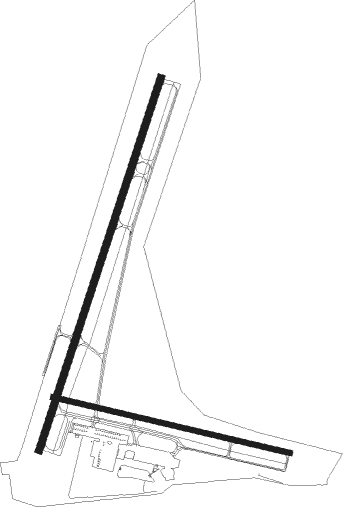
Airport details
| Country | United States of America |
| State | Illinois |
| Region | K5 |
| Airspace | Kansas City Ctr |
| Municipality | Williamson County |
| Elevation | 472ft (144m) |
| Timezone | GMT -6 |
| Coordinates | 37.74871, -89.01176 |
| Magnetic var | |
| Type | land |
| Available since | X-Plane v10.40 |
| ICAO code | KMWA |
| IATA code | MWA |
| FAA code | MWA |
Communication
| Veterans of Southern Illinois AWOS 3 | 119.675 |
| Veterans of Southern Illinois UNICOM | 122.950 |
| Veterans of Southern Illinois Ground Control | 121.700 |
| Veterans of Southern Illinois MARION Tower/CTAF | 128.400 |
Approach frequencies
| ILS-cat-I | RW20 | 109.3 | 18.00mi |
| 3° GS | RW20 | 109.3 | 18.00mi |
Nearby Points of Interest:
Marion Veterans Affairs Medical Center
-Ed M. Stotlar House
-Goddard Chapel
-Williamson County Jail
-Willis Allen House
-Illinois Central Railroad Passenger Depot
-West Frankfort City Hall
-Reef House
-R. Buckminster Fuller and Anne Hewlett Dome Home
-Somerset Grange Hall
-Jackson County Courthouse
-Cornelius Hennessy Building
-Robert W. Hamilton House
-Murphysboro Elks Lodge
-Liberty Theater
-William H. Hull House
-Mobile and Ohio Railroad Depot
-Franklin County Jail
-Grand Tower Mining, Manufacturing and Transportation Company Site
-Du Quoin State Fairgrounds
-Little Grand Canyon
-Sesser Opera House
-Vienna Public Library
-Johnson County Courthouse
-Stinson Memorial Library

Nearby beacons
| code | identifier | dist | bearing | frequency |
|---|---|---|---|---|
| MWA | DME | 0.3 | 360° | 110.40 |
| MW | JONNY (MARION) NDB | 5.7 | 24° | 382 |
| MD | CABBI (CARBONDALE-MURPHYSBORO) NDB | 13.2 | 297° | 388 |
| VNN | VERNON DME | 38 | 18° | 113.80 |
| ENL | CENTRALIA VORTAC | 40.9 | 348° | 115 |
| CGI | GIRARDEAU DME | 41.1 | 227° | 112.90 |
| CIR | CAIRO NDB | 42.5 | 197° | 397 |
| CG | DUTCH (CAPE GIRARDEAU) NDB | 44.2 | 234° | 248 |
| CNG | CUNNINGHAM (PADUCAH) VOR/DME | 45.2 | 167° | 113.10 |
| FWC | WAYNE CO (FAIRFIELD) NDB | 47.4 | 44° | 257 |
| JD | GOOEY (BELLEVILLE) NDB | 55.6 | 315° | 385 |
| SKE | SCOTT (BELLEVILLE) TACAN | 62.1 | 313° | 112.20 |
| SAM | SAMSVILLE VOR/DME | 62.2 | 52° | 116.60 |
| OLY | OLNEY NDB | 70.4 | 41° | 272 |
| TOY | TROY VORTAC | 73.2 | 318° | 116 |
Instrument approach procedures
| runway | airway (heading) | route (dist, bearing) |
|---|---|---|
| RW02 | ANUKE (29°) | ANUKE 2400ft |
| RW02 | BUNCO (346°) | BUNCO ANUKE (9mi, 289°) 2400ft |
| RW02 | DONGO (48°) | DONGO ANUKE (8mi, 73°) 2400ft |
| RNAV | ANUKE 2400ft DIPSE (7mi, 28°) 2400ft KMWA (6mi, 31°) 498ft (5358mi, 113°) 666ft YOSUP (5354mi, 293°) 2400ft YOSUP (turn) | |
| RW20 | AYAZE (168°) | AYAZE YOSUP (21mi, 146°) 2400ft |
| RW20 | DAHLL (226°) | DAHLL YOSUP (23mi, 236°) 2400ft |
| RW20 | TEXAS (261°) | TEXAS YOSUP (20mi, 288°) 2400ft |
| RW20 | YOSUP (206°) | YOSUP 2400ft |
| RNAV | YOSUP 2400ft VANNU (7mi, 208°) 2000ft KMWA (6mi, 205°) 515ft (5358mi, 113°) 668ft ANUKE (5363mi, 293°) 2400ft ANUKE (turn) |
Disclaimer
The information on this website is not for real aviation. Use this data with the X-Plane flight simulator only! Data taken with kind consent from X-Plane 12 source code and data files. Content is subject to change without notice.