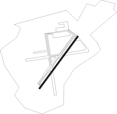
Swansboro - Bogue Field Mcalf
Airport details
| Country | United States of America |
| State | North Carolina |
| Region | K7 |
| Airspace | Washington Ctr |
| Municipality | Bogue |
| Elevation | 20ft (6m) |
| Timezone | GMT -5 |
| Coordinates | 34.69013, -77.02903 |
| Magnetic var | |
| Type | land |
| Available since | X-Plane v11.50 |
| ICAO code | KNJM |
| IATA code | n/a |
| FAA code | NJM |
Communication
| Bogue Field Mcalf CTAF | 126.450 |
| Bogue Field Mcalf Tower | 126.450 |
| Bogue Field Mcalf CHERRY POINT Approach | 119.350 |
| Bogue Field Mcalf CHERRY POINT Departure | 124.100 |
Nearby Points of Interest:
Palo Alto Plantation
-Morehead City Historic District
-Morehead City Municipal Building
-Jacob Henry House
-Beaufort Historic District
-Gibbs House
-Carteret County Home
-Yopps Meeting House
-Bank of Onslow and Jacksonville Masonic Temple
-New Bern Battlefield Site
-Bryan Lavender House
-Sanderson House
-Bryan-Bell Farm
-Foscue and Simmons Plantations
-Mount Shiloh Missionary Baptist Church
-Dr. Earl S. Sloan House
-Foscue Plantation House
-First Baptist Church
-York-Gordon House
-Isaac Taylor House
-Benjamin Smith House
-Ghent Historic District (New Bern, North Carolina)
-Cape Lookout Village Historic District
-Bryan House and Office
-Stevenson House
Nearby beacons
| code | identifier | dist | bearing | frequency |
|---|---|---|---|---|
| NKT | CHERRY POINT TACAN | 14.8 | 36° | 112.80 |
| EW | KAFTI (NEW BERN) NDB | 20 | 351° | 362 |
| NCA | NEW RIVER TACAN | 20.3 | 272° | 115.40 |
| DIW | DIXON NDB | 22.1 | 254° | 198 |
| EWN | NEW BERN VOR/DME | 23 | 358° | 113.60 |
| OA | ELLAS (JACKSONVILLE) NDB | 33.5 | 275° | 261 |
| GM | WILZE NDB | 44.1 | 246° | 205 |
| ILM | WILMINGTON VORTAC | 46.5 | 248° | 117 |
| IS | STALS (KINSTON) NDB | 46.8 | 310° | 276 |
| ISO | KINSTON VORTAC | 48.4 | 322° | 109.60 |
| RNW | CHOCOWINITY NDB | 49.3 | 355° | 388 |
| IL | AIRLI (WILMINGTON) NDB | 51.1 | 239° | 281 |
| GSB | SEYMOUR JOHNSON TACAN | 60.4 | 304° | 116.50 |
Disclaimer
The information on this website is not for real aviation. Use this data with the X-Plane flight simulator only! Data taken with kind consent from X-Plane 12 source code and data files. Content is subject to change without notice.