Coupeville - Coupeville Nolf
Airport details
| Country | United States of America |
| State | Washington |
| Region | K1 |
| Airspace | Seattle Ctr |
| Municipality | Island County |
| Elevation | 199ft (61m) |
| Timezone | GMT -8 |
| Coordinates | 48.18333, -122.63333 |
| Magnetic var | |
| Type | land |
| Available since | X-Plane v10.40 |
| ICAO code | KNRA |
| IATA code | n/a |
| FAA code | NRA |
Communication
| Coupeville NOLF ATIS | 134.150 |
| Coupeville NOLF WHIDBEY Approach/Departure | 118.200 |
Nearby Points of Interest:
Ebey's Landing National Historical Reserve
-Cama Beach State Park
-Fort Flagler State Park
-Rothschild House
-Capt. Enoch S. Fowler House
-Jefferson County Courthouse
-Methodist Episcopal Church of Port Hadlock
-Stanwood IOOF Public Hall
-Deception Pass Bridge
-Bethsaida Swedish Evangelical Lutheran Church Parsonage
-St. Anne's Roman Catholic Church
-Indian Shaker Church
-New Dungeness Light
-Marysville Opera House
-North Coast Casket Company Building
-McAlmond House
-Weyerhaeuser Office Building
-Roland Hartley House
-Rucker House
-Community Center and War Memorial Building
-Manis Mastodon Site
-U.S. Post Office and Customshouse
-Hewitt Avenue Historic District
-Commerce Building
-Everett City Hall
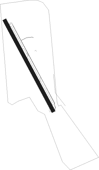
Runway info
| Runway 14 / 32 | ||
| length | 1647m (5404ft) | |
| bearing | 147° / 327° | |
| width | 61m (200ft) | |
| surface | concrete | |
Nearby beacons
| code | identifier | dist | bearing | frequency |
|---|---|---|---|---|
| CVV | PENN COVE VOR/DME | 5.1 | 304° | 117.20 |
| NUW | WHIDBEY ISLAND (OAK HARBO TACAN | 10.3 | 351° | 113.80 |
| BVS | SKAGIT/BAY VIEW (BURLINGTON) NDB | 19.1 | 37° | 240 |
| AW | WATON (ARLINGTON) NDB | 20.2 | 103° | 382 |
| PAE | PAINE (EVERETT) VOR/DME | 21.3 | 127° | 110.60 |
| FHR | FRIDAY HARBOR NDB | 25.1 | 310° | 284 |
| NOW | EDIZ HOOK (PORT ANGELES) NDB | 30.9 | 267° | 338 |
| YJ | VICTORIA NDB | 41.2 | 301° | 200 |
| HUH | WHATCOM VORTAC | 45.8 | 4° | 113 |
| MB | MILL BAY (VICTORIA) NDB | 46.4 | 298° | 293 |
| SEA | SEATTLE VORTAC | 46.7 | 157° | 116.80 |
| YYJ | VICTORIA VOR/DME | 47 | 303° | 113.70 |
| AP | ACTIVE PASS NDB | 49 | 316° | 378 |
| WC | WHITE ROCK NDB | 49.4 | 352° | 332 |
| XX | ABBOTSFORD NDB | 50.2 | 10° | 344 |
| YVR | VANCOUVER VOR/DME | 57.4 | 330° | 115.90 |
| VR | VANCOUVER NDB | 61.7 | 337° | 266 |
Disclaimer
The information on this website is not for real aviation. Use this data with the X-Plane flight simulator only! Data taken with kind consent from X-Plane 12 source code and data files. Content is subject to change without notice.