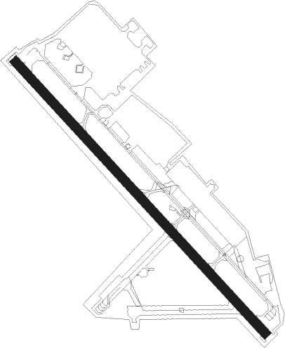
Willow Grove - Nas Jrb Willow Grove
Airport details
| Country | United States of America |
| State | Pennsylvania |
| Region | K6 |
| Airspace | New York Ctr |
| Municipality | Horsham Township |
| Elevation | 356ft (109m) |
| Timezone | GMT -5 |
| Coordinates | 40.19983, -75.14817 |
| Magnetic var | |
| Type | land |
| Available since | X-Plane v10.40 |
| ICAO code | KNXX |
| IATA code | NXX |
| FAA code | NXX |
Communication
Nearby Points of Interest:
Graeme Park
-Kenderdine Mill Complex
-Union Library Company
-Loller Academy
-Horsham–Montgomery Bridge
-Jacob Kastner Loghouse
-Moland House
-Ivyland Historic District
-Quaker Manor House
-Bryn Athyn-Lower Moreland Bridge
-Fretz Farm
-Gwynedd Hall
-County Bridge No. 54
-Knipe–Johnson Farm
-Isaac Kulp Farm
-Knipe-Moore-Rupp Farm
-Cairnwood
-Union School
-Dawesfield
-Fetter's Mill Village Historic District
-Fetter's Mill
-Hope Lodge
-Bryn Athyn Historic District
-Tabor Home for Needy and Destitute Children
-Farmar Mill
Nearby beacons
| code | identifier | dist | bearing | frequency |
|---|---|---|---|---|
| ING | AMBLER NDB | 7.6 | 242° | 275 |
| ARD | YARDLEY VOR/DME | 11.4 | 77° | 108.20 |
| PTW | POTTSTOWN VORTAC | 18.9 | 273° | 116.50 |
| GXU | MC GUIRE (WRIGHTSTOWN) VORTAC | 27.8 | 109° | 110.60 |
| MXE | MODENA VORTAC | 29.3 | 242° | 113.20 |
| SBJ | SOLBERG VOR/DME | 29.5 | 47° | 112.90 |
| RBV | ROBBINSVILLE VORTAC | 29.9 | 90° | 113.80 |
| ETX | EAST TEXAS VOR/DME | 33.5 | 305° | 110.20 |
| FJC | ALLENTOWN VORTAC | 34.6 | 330° | 117.50 |
| OOD | WOODSTOWN VORTAC | 34.6 | 195° | 112.80 |
| DQO | DUPONT (WILMINGTON) VORTAC | 37.7 | 221° | 114 |
| NEL | LAKEHURST TACAN | 37.8 | 102° | 111.80 |
| NEL | LAKEHURST NDB | 38.4 | 101° | 396 |
| BWZ | BROADWAY (SCHOOLEY'S MT) VOR/DME | 38.9 | 29° | 114.20 |
| CYN | COYLE VORTAC | 40.1 | 118° | 113.40 |
| VCN | CEDAR LAKE (MILLVILLE) VOR/DME | 40.6 | 165° | 115.20 |
| IL | HADIN (WILMINGTON) NDB | 42.9 | 217° | 248 |
| COL | COLTS NECK VOR/DME | 45.7 | 84° | 115.40 |
| CAT | CHATHAM NDB | 46.1 | 53° | 254 |
| RNB | RAINBOW (MILLVILLE) NDB | 46.9 | 179° | 363 |
| STW | STILLWATER VOR/DME | 49.4 | 19° | 109.60 |
| ACY | ATLANTIC CITY VORTAC | 51.8 | 142° | 108.60 |
| MM | MOREE (MORRISTOWN) NDB | 55.2 | 50° | 392 |
| SAX | SPARTA VORTAC | 59 | 35° | 115.70 |
| ENO | SMYRNA (KENTON) VORTAC | 60.5 | 201° | 111.40 |
Disclaimer
The information on this website is not for real aviation. Use this data with the X-Plane flight simulator only! Data taken with kind consent from X-Plane 12 source code and data files. Content is subject to change without notice.