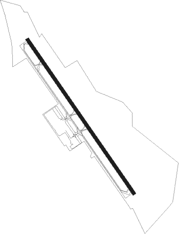
Richmond/ashland - Hanover County Muni
Airport details
| Country | United States of America |
| State | Virginia |
| Region | K6 |
| Airspace | Washington Ctr |
| Municipality | Hanover County |
| Elevation | 208ft (63m) |
| Timezone | GMT -5 |
| Coordinates | 37.70895, -77.43664 |
| Magnetic var | |
| Type | land |
| Available since | X-Plane v10.40 |
| ICAO code | KOFP |
| IATA code | n/a |
| FAA code | OFP |
Communication
| Hanover County Muni ASOS | 119.025 |
| Hanover County Muni CTAF/UNICOM | 122.700 |
| Hanover County Muni POTOMAC Approach | 134.700 |
Approach frequencies
| LOC | RW16 | 109.7 | 18.00mi |
Nearby Points of Interest:
Hanover Wayside
-Totomoi
-Oak Forest (Mechanicsville, Virginia)
-Rural Plains
-Cool Well
-Pine Camp Tuberculosis Hospital
-Chamberlayne Gardens
-Horn Quarter
-Emek Sholom Holocaust Memorial Cemetery
-Wyoming
-Holly Lawn
-Reynolds Metals Company International Headquarters
-Brookland Park Historic District
-Laburnum Park Historic District
-Oakley Hill
-Cold Harbor National Cemetery
-Hermitage Road Warehouse Historic District
-Battery Court Historic District
-Richmond Locomotive and Machine Works
-Department of Public Utilities Howard (Overbrook) Road Facility
-Chestnut Hill-Plateau Historic District
-Green's Farm
-Belgian Building
-Westbourne (Richmond, Virginia)
-Kent Road Village
Nearby beacons
| code | identifier | dist | bearing | frequency |
|---|---|---|---|---|
| RIC | RICHMOND VORTAC | 13.5 | 151° | 114.10 |
| FAK | FLAT ROCK VORTAC | 21.5 | 245° | 113.30 |
| HPW | HOPEWELL VORTAC | 27.4 | 140° | 112 |
| EZF | SHANNON (FREDERICKSBURG) NDB | 33.4 | 359° | 237 |
| BRV | BROOKE VORTAC | 37.8 | 8° | 114.50 |
| HCM | HARCUM VORTAC | 37.8 | 110° | 108.80 |
| GVE | GORDONSVILLE VORTAC | 38.5 | 293° | 115.60 |
| BKT | BLACKSTONE NDB | 45.3 | 226° | 326 |
| AKQ | WAKEFIELD NDB | 48.3 | 149° | 274 |
| MSQ | NAILR (CULPEPER) NDB | 49.9 | 328° | 351 |
| LVL | LAWRENCEVILLE VORTAC | 57.9 | 208° | 112.90 |
| DAA | DAVEE (FT BELVOIR) NDB | 59.2 | 19° | 223 |
| CSN | CASANOVA VORTAC | 59.5 | 335° | 116.30 |
| FKN | FRANKLIN VORTAC | 63 | 157° | 110.60 |
| OTT | NOTTINGHAM VORTAC | 68.1 | 35° | 113.70 |
Instrument approach procedures
| runway | airway (heading) | route (dist, bearing) |
|---|---|---|
| RW16 | BEUGA (229°) | BEUGA ISSIG (11mi, 280°) 1900ft BAWAW (5mi, 245°) 1800ft |
| RW16 | COATT (151°) | COATT BAWAW (5mi, 167°) 1800ft |
| RW16 | ROOKY (97°) | ROOKY DOPUY (6mi, 32°) 1900ft BAWAW (5mi, 65°) 1800ft |
| RNAV | BAWAW 1800ft ASNAY (6mi, 144°) 1800ft KOFP (5mi, 144°) 247ft BOCAB (5mi, 144°) CALMI (9mi, 56°) ISSIG (15mi, 308°) 2000ft ISSIG (turn) | |
| RW34 | RIC (331°) | RIC 2000ft |
| RNAV | RIC 2000ft BRIGZ (8mi, 336°) 1900ft DWEED (3mi, 324°) 1060ft KOFP (3mi, 324°) 251ft (4810mi, 116°) 700ft COATT (4819mi, 296°) 2000ft COATT (turn) |
Disclaimer
The information on this website is not for real aviation. Use this data with the X-Plane flight simulator only! Data taken with kind consent from X-Plane 12 source code and data files. Content is subject to change without notice.