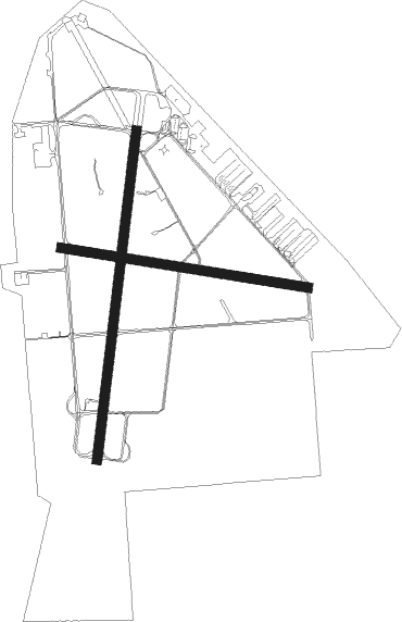
Olympia - Olympia Regional
Airport details
| Country | United States of America |
| State | Washington |
| Region | K1 |
| Airspace | Seattle Ctr |
| Municipality | Tumwater |
| Elevation | 208ft (63m) |
| Timezone | GMT -8 |
| Coordinates | 46.96941, -122.90254 |
| Magnetic var | |
| Type | land |
| Available since | X-Plane v10.40 |
| ICAO code | KOLM |
| IATA code | OLM |
| FAA code | OLM |
Communication
| Olympia Regional ATIS | 135.725 |
| Olympia Regional UNICOM | 122.950 |
| Olympia Regional Ground Control | 121.600 |
| Olympia Regional Tower | 124.400 |
| Olympia Regional SEATTLE Departure | 121.100 |
| Olympia Regional SEATTLE Approach | 121.100 |
Approach frequencies
| ILS-cat-I | RW17 | 111.9 | 18.00mi |
| 3° GS | RW17 | 111.9 | 18.00mi |
Nearby Points of Interest:
Cloverfields
-Millersylvania State Park
-Washington State Capitol
-Elks Building
-Old Capitol Building
-American Legion Hall
-Olympia Downtown Historic District
-Mottman Building
-Captain Calvin and Pamela Hale House
-Tenino Downtown Historic District
-Tenino Stone Company Quarry
-Mima Mounds
-Miller–Brewer House
-Woodard Bay Natural Resources Conservation Area
-Nisqually River
-Gate School
-DuPont Village Historic District
-Lewis Army Museum
-Centralia Downtown Historic District
-Thornewood
-Fort Steilacoom
-Rhodesleigh
-Claquato Church
-Fox Island School
-Tacoma Mausoleum

Nearby beacons
| code | identifier | dist | bearing | frequency |
|---|---|---|---|---|
| OLM | OLYMPIA VORTAC | 0.1 | 18° | 113.40 |
| TCM | MC CHORD (TACOMA) TACAN | 20.5 | 67° | 109.60 |
| SEA | SEATTLE VORTAC | 36.9 | 52° | 116.80 |
| PAE | PAINE (EVERETT) VOR/DME | 62.4 | 33° | 110.60 |
| AST | ASTORIA VOR/DME | 63.1 | 230° | 114 |
Departure and arrival routes
| Transition altitude | 18000ft |
| Transition level | 18000ft |
| SID end points | distance | outbound heading | |
|---|---|---|---|
| RW17 | |||
| YELM5 | 21mi | 67° | |
| RW35 | |||
| YELM5 | 21mi | 67° | |
Instrument approach procedures
| runway | airway (heading) | route (dist, bearing) |
|---|---|---|
| RW17 | CARRO (188°) | CARRO BOSTO (7mi, 172°) 3000ft |
| RW17 | OLM (198°) | OLM BOSTO (13mi, 16°) 3100ft BOSTO (turn) 3000ft |
| RW17 | SEA (232°) | SEA HOGVU (22mi, 233°) 6000ft BOSTO (7mi, 278°) 3000ft |
| RW17 | WONKU (138°) | WONKU BOSTO (12mi, 98°) 3000ft |
| RNAV | BOSTO 3000ft OPOYU (6mi, 196°) 2400ft KOLM (7mi, 195°) 250ft (6712mi, 111°) 407ft CORER (6715mi, 291°) CETRA (10mi, 203°) 4000ft CETRA (turn) 4000ft | |
| RW35 | OLM (198°) | OLM CETRA (15mi, 201°) 4000ft CETRA (turn) 4000ft |
| RW35 | RINDS (51°) | RINDS CETRA (7mi, 101°) 4000ft |
| RW35 | TONNO (345°) | TONNO CETRA (7mi, 282°) 4000ft |
| RNAV | CETRA 4000ft CORER (10mi, 23°) 1700ft KOLM (5mi, 17°) 253ft (6712mi, 111°) 608ft BOSTO (6704mi, 291°) 4000ft BOSTO (turn) 4000ft |
Disclaimer
The information on this website is not for real aviation. Use this data with the X-Plane flight simulator only! Data taken with kind consent from X-Plane 12 source code and data files. Content is subject to change without notice.