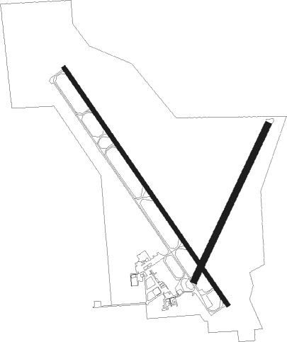
Columbus - Columbus Municipal
Airport details
| Country | United States of America |
| State | Nebraska |
| Region | K3 |
| Airspace | Minneapolis Ctr |
| Municipality | Columbus |
| Elevation | 1446ft (441m) |
| Timezone | GMT -6 |
| Coordinates | 41.44872, -97.34094 |
| Magnetic var | |
| Type | land |
| Available since | X-Plane v10.40 |
| ICAO code | KOLU |
| IATA code | n/a |
| FAA code | OLU |
Communication
| Columbus Municipal AWOS 3 | 125.525 |
| Columbus Municipal CTAF/UNICOM | 123.050 |
| Columbus Municipal MINNEAPOLIS ApproachROACH | 128.750 |
| Columbus Municipal MINNEAPOLIS DepartureARTURE | 128.750 |
Approach frequencies
| LOC | RW14 | 109.1 | 18.00mi |
Nearby Points of Interest:
Walter and Ruby Behlen House
-Frederick L. and L. Frederick Gottschalk Houses
-H.E. Snyder House
-C. Segelke Building
-Platte County Courthouse
-Glur's Tavern
-Albert and Lina Stenger House
-United States Post Office
-Schuyler City Hall
-Schuyler Carnegie Library
-Colfax County Courthouse
-John Janecek House
-Chauncey S. Taylor House
-Monroe Congregational Church and New Hope Cemetery
-Humphrey City Hall
-Genoa Indian Industrial School
-Polk County Courthouse
-Gov. John Hopwood Mickey House
-Clarkson Opera House
-Surprise Opera House
-Big Blue River Bridge
-Charles H. Morrill Homestead
-Upper Oak Creek Descent Ruts of the Woodbury Cutoff, Ox Bow Trail of the California Road
-North Bend Carnegie Library
-Clem's Opera House

Nearby beacons
| code | identifier | dist | bearing | frequency |
|---|---|---|---|---|
| OLU | COLUMBUS VOR/DME | 0 | 5° | 111.80 |
| PLT | PLATTE CENTER (COLUMBUS) NDB | 3.4 | 320° | 407 |
| OFK | NORFOLK VOR/DME | 32.6 | 350° | 109.60 |
| SCB | SCRIBNER VOR/DME | 33.3 | 78° | 111 |
| JYR | YORK NDB | 35.3 | 207° | 257 |
| AHQ | WAHOO NDB | 35.7 | 106° | 400 |
| LNK | LINCOLN VORTAC | 41.5 | 131° | 116.10 |
| LN | POTTS (LINCOLN) NDB | 49.6 | 140° | 385 |
| GRI | GRAND ISLAND VOR/DME | 52 | 244° | 112 |
| FMZ | BEKLOF (FAIRMONT) NDB | 52.5 | 195° | 392 |
| GR | SANCY NDB | 55.9 | 239° | 380 |
Instrument approach procedures
| runway | airway (heading) | route (dist, bearing) |
|---|---|---|
| RW14 | CAKFI (142°) | CAKFI 3500ft |
| RW14 | DWELL (311°) | DWELL ALEMY (41mi, 322°) 4000ft CAKFI (5mi, 246°) 3500ft |
| RW14 | OBH (86°) | OBH BAQLY (37mi, 75°) 4800ft CAKFI (5mi, 66°) 3500ft |
| RNAV | CAKFI 3500ft DOSJO (7mi, 142°) 3100ft KOLU (6mi, 141°) 1487ft (5735mi, 113°) 1750ft ZINOS (5730mi, 293°) 4000ft ZINOS (turn) | |
| RW32 | DWELL (311°) | DWELL ZINOS (17mi, 304°) 4000ft |
| RW32 | OLU (185°) | OLU ZINOS (11mi, 143°) 4000ft ZINOS (turn) 4000ft |
| RNAV | ZINOS 4000ft FAVDO (6mi, 322°) 3100ft KOLU (5mi, 323°) 1486ft (5735mi, 113°) 1710ft CAKFI (5741mi, 293°) 4000ft CAKFI (turn) |
Disclaimer
The information on this website is not for real aviation. Use this data with the X-Plane flight simulator only! Data taken with kind consent from X-Plane 12 source code and data files. Content is subject to change without notice.