O'neill - The Oneill Muni
Airport details
| Country | United States of America |
| State | Nebraska |
| Region | K3 |
| Airspace | Minneapolis Ctr |
| Municipality | Holt County |
| Elevation | 2029ft (618m) |
| Timezone | GMT -6 |
| Coordinates | 42.46936, -98.68777 |
| Magnetic var | |
| Type | land |
| Available since | X-Plane v10.40 |
| ICAO code | KONL |
| IATA code | n/a |
| FAA code | ONL |
Communication
| The Oneill Muni AWOS 3 | 121.125 |
| The Oneill Muni CTAF/UNICOM | 122.800 |
Nearby Points of Interest:
Holt County Courthouse
-Old Nebraska State Bank Building
-Brantly Sturdevant House
-Ashfall Fossil Beds
-Rad Sladkovsky
-Verdigris Creek Bridge
Runway info
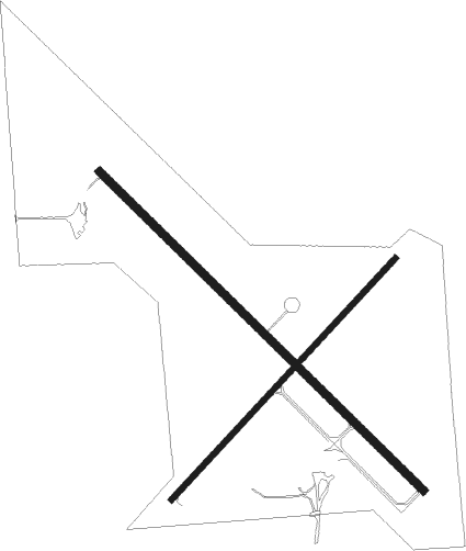
Runway 13 / 31  | ||
| length | 1343m (4406ft) | |
| bearing | 130° / 310° | |
| width | 23m (75ft) | |
| surface | asphalt | |
| Runway 4 / 22 | ||
| length | 975m (3199ft) | |
| bearing | 56° / 236° | |
| width | 18m (60ft) | |
| surface | concrete | |
Nearby beacons
| code | identifier | dist | bearing | frequency |
|---|---|---|---|---|
| ONL | O'NEILL VORTAC | 0 | 37° | 113.90 |
| AGZ | WAGNER NDB | 39.6 | 34° | 392 |
| ODX | ORD NDB | 52 | 197° | 356 |
Instrument approach procedures
| runway | airway (heading) | route (dist, bearing) |
|---|---|---|
| RW13 | CURIR (238°) | CURIR VEYIB (23mi, 262°) 4000ft AKIGE (5mi, 237°) 4000ft |
| RW13 | GIYED (95°) | GIYED SUXGY (9mi, 75°) 4000ft AKIGE (5mi, 57°) 4000ft |
| RW13 | ONL (217°) | ONL AKIGE (11mi, 310°) 4000ft AKIGE (turn) 4000ft |
| RNAV | AKIGE 4000ft IMUYE (6mi, 130°) 3700ft KONL (5mi, 130°) 2071ft AFSIC (11mi, 130°) 4000ft AFSIC (turn) | |
| RW31 | CUGUX (272°) | CUGUX PUYLI (10mi, 251°) 4000ft AFSIC (5mi, 237°) 4000ft |
| RW31 | JIKNU (56°) | JIKNU HUTVO (15mi, 95°) 4000ft AFSIC (5mi, 57°) 4000ft |
| RW31 | ONL (217°) | ONL AFSIC (11mi, 131°) 4000ft AFSIC (turn) 4000ft |
| RNAV | AFSIC 4000ft IHBUK (6mi, 310°) 3700ft KONL (5mi, 310°) 2071ft AKIGE (11mi, 310°) 4000ft AKIGE (turn) |
Disclaimer
The information on this website is not for real aviation. Use this data with the X-Plane flight simulator only! Data taken with kind consent from X-Plane 12 source code and data files. Content is subject to change without notice.