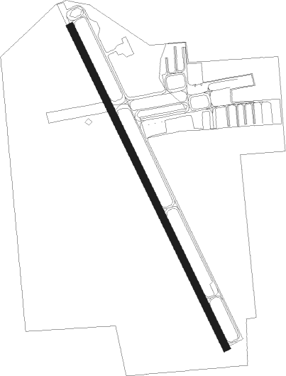
Ontario - Ontario Muni
Airport details
| Country | United States of America |
| State | Oregon |
| Region | K1 |
| Airspace | Salt Lake City Ctr |
| Municipality | Ontario |
| Elevation | 2191ft (668m) |
| Timezone | GMT -7 |
| Coordinates | 44.01936, -117.01303 |
| Magnetic var | |
| Type | land |
| Available since | X-Plane v10.40 |
| ICAO code | KONO |
| IATA code | ONO |
| FAA code | ONO |
Communication
| Ontario Muni ASOS | 135.275 |
| Ontario Muni CTAF/UNICOM | 122.800 |
Nearby Points of Interest:
James Rowley and Mary J. Blackaby House
-Oregon Short Line Railroad Depot
-Coughanour Apartment Block
-Payette City Hall and Courthouse
-Grant Whitney House
-Green Lantern Saloon
-Al Thompson and Son's Feed and Seed Company
-New Plymouth Congregational Church
-Vale Drug Store
-First Bank of Vale
-Rinehart Stone House Museum
-Vale Hotel and Grand Opera House
-Fort Boise
-Knights of Pythias Lodge Hall
-B. S. Varian House
-Anderson–Elwell House
-Morris Sommer House
-Benjamin Watlington House
-Washington County Courthouse
-James M. Fisher House
-Intermountain Institute
-George Obendorf Gothic Arch Truss Barn
-Oregon Commercial Company Building
-Emmett Presbyterian Church
-Gem County Courthouse
Nearby beacons
| code | identifier | dist | bearing | frequency |
|---|---|---|---|---|
| BOI | BOISE VORTAC | 45.2 | 120° | 113.30 |
| DNJ | DONNELLY (MC CALL) VOR/DME | 56.7 | 47° | 116.20 |
| BKE | BAKER CITY VOR/DME | 59.9 | 316° | 115.30 |
Instrument approach procedures
| runway | airway (heading) | route (dist, bearing) |
|---|---|---|
| RW15 | HOVEL (152°) | HOVEL CEYTA (4mi, 156°) 7400ft JIRBU (4mi, 151°) 5700ft |
| RW15 | NEYGI (183°) | NEYGI CEYTA (12mi, 230°) 7400ft JIRBU (4mi, 151°) 5700ft |
| RW15 | PIYID (124°) | PIYID CEYTA (10mi, 84°) 7400ft JIRBU (4mi, 151°) 5700ft |
| RNAV | JIRBU 5700ft KODGE (3mi, 151°) 5000ft ZEMTI (3mi, 151°) 4500ft TEMAE (3mi, 151°) 3440ft KONO (4mi, 151°) 2233ft (6550mi, 111°) 2593ft HOVEL (6550mi, 291°) 9000ft HOVEL (turn) | |
| RW33 | EMETT (286°) | EMETT OYABU (13mi, 254°) 5000ft |
| RW33 | HOSTS (86°) | HOSTS UKAYI (23mi, 115°) 6100ft OYABU (8mi, 73°) 5000ft |
| RW33 | PARMO (323°) | PARMO OYABU (6mi, 309°) 5000ft |
| RNAV | OYABU 5000ft YENUR (5mi, 332°) 4200ft AKIYA (3mi, 332°) 3200ft KONO (4mi, 332°) 2229ft (6550mi, 111°) 2443ft ZEMTI (6550mi, 291°) HOVEL (14mi, 333°) 9000ft HOVEL (turn) |
Disclaimer
The information on this website is not for real aviation. Use this data with the X-Plane flight simulator only! Data taken with kind consent from X-Plane 12 source code and data files. Content is subject to change without notice.