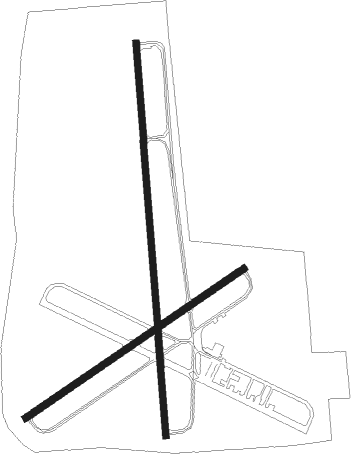
Opelousas - St Landry Parish Ahart Fld
Airport details
| Country | United States of America |
| State | Louisiana |
| Region | K4 |
| Municipality | Opelousas |
| Elevation | 75ft (23m) |
| Timezone | GMT -6 |
| Coordinates | 30.55839, -92.09939 |
| Magnetic var | |
| Type | land |
| Available since | X-Plane v10.40 |
| ICAO code | KOPL |
| IATA code | n/a |
| FAA code | OPL |
Communication
| ST Landry Parish Ahart Fld CTAF/UNICOM | 123.000 |
| ST Landry Parish Ahart Fld LAFAYETTE Approach/Departure | 128.700 |
Nearby Points of Interest:
Edward Benjamin Dubuisson House
-Chretien Point Plantation
-Le Vieux Presbytere
-Alexis LaTour House
-Evangeline Bank and Trust Company
-White's Chapel United Methodist Church
-Brandt House (Lafayette, Louisiana)
-Old Lafayette City Hall
-Joseph D. Bernard House
-Freetown-Port Rico Historic District
-Frithland
-Bayou Rouge Baptist Church
-Texas and Pacific Railroad Depot
-Dr. Joseph Angel Villien House
-El Dorado Plantation
-Maison Olivier
-Longfellow-Evangeline State Historic Site
-Trinity Episcopal Church
-Fontenette-Bienvenu House
-Thomas A. Lemoine House
-St. Martin Parish Courthouse
-White Hall Plantation House
-Elton United Methodist Church
-St. Paul Lutheran Church
-Parlange Plantation House

Nearby beacons
| code | identifier | dist | bearing | frequency |
|---|---|---|---|---|
| ECY | DURALDE (EUNICE) NDB | 18 | 270° | 263 |
| LF | LAFFS (LAFARETTE) NDB | 18.9 | 145° | 375 |
| LFT | LAFAYETTE VORTAC | 22.5 | 164° | 109.80 |
| BNZ | ABBEVILLE NDB | 29.8 | 183° | 230 |
| LSU | FIGHTING TIGER (BATON ROU VORTAC | 41.8 | 95° | 116.50 |
| BT | RUNDI (BATON ROUGE) NDB | 45.9 | 88° | 284 |
| AEX | ALEXANDRIA VORTAC | 46.7 | 330° | 116.10 |
| LLA | WHITE LAKE VOR/DME | 55.6 | 197° | 110.40 |
Instrument approach procedures
| runway | airway (heading) | route (dist, bearing) |
|---|---|---|
| RW18 | JUGBO (180°) | JUGBO 2000ft |
| RNAV | JUGBO 2000ft HUPIG (7mi, 180°) 1800ft ZOXEB (4mi, 180°) 600ft KOPL (2mi, 181°) 123ft (5514mi, 108°) 321ft YOLUG (5514mi, 288°) 2300ft YOLUG (turn) | |
| RW36 | YOLUG (0°) | YOLUG 2300ft |
| RNAV | YOLUG 2300ft PUZKO (7mi, 0°) 1800ft KOPL (6mi, 360°) 113ft (5514mi, 108°) 350ft JUGBO (5513mi, 288°) 2000ft JUGBO (turn) |
Disclaimer
The information on this website is not for real aviation. Use this data with the X-Plane flight simulator only! Data taken with kind consent from X-Plane 12 source code and data files. Content is subject to change without notice.