Maquoketa - Maquoketa Muni
Airport details
| Country | United States of America |
| State | Iowa |
| Region | K3 |
| Airspace | Chicago Ctr |
| Municipality | Jackson County |
| Elevation | 769ft (234m) |
| Timezone | GMT -6 |
| Coordinates | 42.05008, -90.73881 |
| Magnetic var | |
| Type | land |
| Available since | X-Plane v10.40 |
| ICAO code | KOQW |
| IATA code | n/a |
| FAA code | OQW |
Communication
| Maquoketa Muni CTAF/UNICOM | 122.800 |
Nearby Points of Interest:
Milton Godard House
-Alexander Organ House
-John Lake House
-A.A. Hurst House
-Maquoketa Public Library
-Cundill Block
-First National Bank
-C.M. Sanborn Building
-Lyon Block
-Merrero Building
-Mitchell-Maskrey Mill
-IOOF Building
-New Era Building (Maquoketa, Iowa)
-Perham House
-W.B. Swigert House
-D.H. Anderson House
-Henry Taubman House
-Seneca Williams Mill
-Mill Rock School
-Sharon Methodist Episcopal Church
-Chicago, Milwaukee, St. Paul and Pacific Depot – Delmar
-Delmar Calaboose
-Central School
-Jackson County Jail
-Wilson District No. 7 School
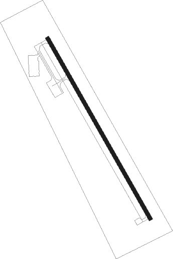
Runway info
| Runway 15 / 33 | ||
| length | 1008m (3307ft) | |
| bearing | 148° / 328° | |
| width | 18m (60ft) | |
| surface | asphalt | |
| blast zone | 152m (499ft) / 0m (0ft) | |
Nearby beacons
| code | identifier | dist | bearing | frequency |
|---|---|---|---|---|
| DB | ZILOM (DUBUQUE) NDB | 17.5 | 27° | 341 |
| DBQ | DUBUQUE VORTAC | 21.1 | 5° | 115.80 |
| CVA | DAVENPORT VORTAC | 23.4 | 143° | 113.80 |
| FN | HILLZ (CLINTON) NDB | 23.7 | 131° | 517 |
| MZV | MOLINE VOR/DME | 44 | 172° | 114.40 |
| DDD | CITY DME | 45 | 211° | 116.50 |
| IOW | IOWA CITY VOR/DME | 50.5 | 239° | 116.20 |
Instrument approach procedures
| runway | airway (heading) | route (dist, bearing) |
|---|---|---|
| RW15 | UPGEF (148°) | UPGEF 3000ft |
| RNAV | UPGEF 3000ft IXODY (6mi, 148°) 2500ft ARYED (3mi, 148°) 1600ft KOQW (3mi, 148°) 819ft NAZVI (11mi, 148°) 3000ft NAZVI (turn) | |
| RW33 | NAZVI (328°) | NAZVI 3000ft |
| RNAV | NAZVI 3000ft YOPGU (6mi, 328°) 2500ft WETOK (2mi, 328°) 1620ft KOQW (3mi, 328°) 778ft (5438mi, 115°) 1036ft UPGEF (5443mi, 295°) 3000ft UPGEF (turn) |
Disclaimer
The information on this website is not for real aviation. Use this data with the X-Plane flight simulator only! Data taken with kind consent from X-Plane 12 source code and data files. Content is subject to change without notice.