Orange - Orange Co
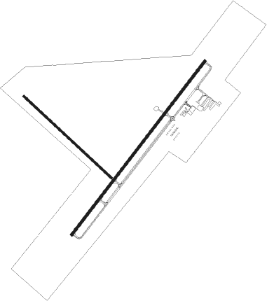
Airport details
| Country | United States of America |
| State | Texas |
| Region | K4 |
| Airspace | Houston Oceanic Ctr |
| Municipality | Orange County |
| Elevation | 13ft (4m) |
| Timezone | GMT -6 |
| Coordinates | 30.06845, -93.80402 |
| Magnetic var | |
| Type | land |
| Available since | X-Plane v10.40 |
| ICAO code | KORG |
| IATA code | n/a |
| FAA code | ORG |
Communication
| Orange Co AWOS 3 | 118.975 |
| Orange Co CTAF/UNICOM | 122.800 |
| Orange Co HOUSTON Approach/Departure | 121.300 |
Nearby Points of Interest:
Spindletop
-Idle Hours
-Beaumont Commercial District
-Edson Hotel
-Saint Anthony Cathedral Basilica
-Jack Brooks Federal Building
-Woman's Club of Beaumont Clubhouse
-Kansas City Southern Depot
-Muller's Department Store
-Kirby-Hill House

Nearby beacons
| code | identifier | dist | bearing | frequency |
|---|---|---|---|---|
| BPT | BEAUMONT VOR/DME | 13.2 | 240° | 114.50 |
| GDE | GOODHUE (BEAUMONT) NDB | 21.1 | 270° | 368 |
| AUR | SULFY (SULPHUR) NDB | 21.3 | 71° | 278 |
| SBI | SABINE PASS VOR/DME | 25.9 | 212° | 115.40 |
| CW | MOSSY (LAKE CHARLES) NDB | 34.6 | 69° | 418 |
| LCH | LAKE CHARLES VORTAC | 36.5 | 84° | 113.40 |
| DAS | DAISETTA VORTAC | 44.2 | 278° | 116.90 |
| DXB | DE RIDDER NDB | 47.7 | 34° | 385 |
| MHF | TRINITY (SMITH POINT) VOR/DME | 58.3 | 241° | 113.60 |
Instrument approach procedures
| runway | airway (heading) | route (dist, bearing) |
|---|---|---|
| RW22 | SAHAJ (247°) | SAHAJ WARES (5mi, 308°) 2000ft |
| RW22 | WLYMS (204°) | WLYMS WARES (5mi, 128°) 2000ft |
| RNAV | WARES 2000ft IBCED (6mi, 226°) 2000ft KORG (7mi, 227°) 57ft KEDKY (5mi, 225°) POPEY (14mi, 115°) 2000ft POPEY (turn) |
Disclaimer
The information on this website is not for real aviation. Use this data with the X-Plane flight simulator only! Data taken with kind consent from X-Plane 12 source code and data files. Content is subject to change without notice.