Kosciusko - Kosciusko-attala County
Airport details
| Country | United States of America |
| State | Mississippi |
| Region | K7 |
| Airspace | Memphis Ctr |
| Municipality | Attala County |
| Elevation | 479ft (146m) |
| Timezone | GMT -6 |
| Coordinates | 33.09025, -89.54203 |
| Magnetic var | |
| Type | land |
| Available since | X-Plane v10.40 |
| ICAO code | KOSX |
| IATA code | n/a |
| FAA code | OSX |
Communication
| Kosciusko-Attala County CTAF | 122.900 |
Nearby Points of Interest:
Old First Presbyterian Church
-Immanuel Episcopal Church
-Acona Church, Cemetery, and School
-Downtown Philadelphia Historic District
-Old US Post Office
-Cotesworth
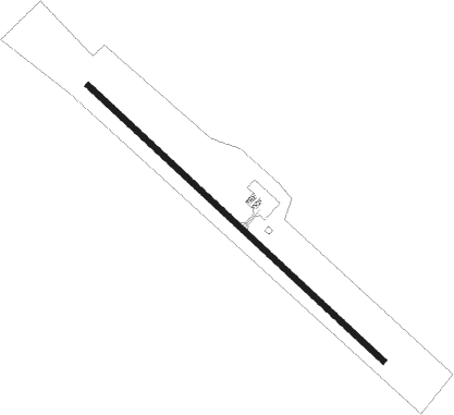
Runway info
| Runway 14 / 32 | ||
| length | 1528m (5013ft) | |
| bearing | 132° / 312° | |
| width | 23m (75ft) | |
| surface | asphalt | |
Nearby beacons
| code | identifier | dist | bearing | frequency |
|---|---|---|---|---|
| GW | TEOCK NDB | 40.6 | 313° | 349 |
| SQS | SIDON VORTAC | 43.2 | 297° | 114.70 |
| MHZ | MAGNOLIA (MADISON) VORTAC | 48.4 | 220° | 113.20 |
| JA | ALLEN (JACKSON) NDB | 50 | 220° | 365 |
| JH | BRENZ (JACKSON) NDB | 54.5 | 227° | 260 |
| MEI | MERIDIAN VORTAC | 56.7 | 134° | 117 |
| NMM | MERIDIAN TACAN | 58.9 | 117° | 111.90 |
Instrument approach procedures
| runway | airway (heading) | route (dist, bearing) |
|---|---|---|
| RW14 | IGB (249°) | IGB DEPGE (57mi, 260°) 2800ft JINED (5mi, 232°) 2100ft |
| RW14 | JINED (132°) | JINED 2100ft |
| RW14 | SQS (117°) | SQS JINED (32mi, 112°) 2100ft |
| RNAV | JINED 2100ft EHAKE (6mi, 132°) 2100ft VELLU (3mi, 132°) 1180ft KOSX (2mi, 132°) 544ft (5382mi, 110°) 894ft GUDRE (5374mi, 290°) 2200ft GUDRE (turn) | |
| RW32 | IGB (249°) | IGB PULCO (50mi, 239°) 2200ft GUDRE (5mi, 232°) 2200ft |
| RW32 | SQS (117°) | SQS GUDRE (54mi, 120°) 2200ft GUDRE (turn) 2200ft |
| RNAV | GUDRE 2200ft EHEBU (6mi, 313°) 2100ft KOSX (5mi, 312°) 515ft (5382mi, 110°) 894ft JINED (5390mi, 290°) 2100ft JINED (turn) |
Disclaimer
The information on this website is not for real aviation. Use this data with the X-Plane flight simulator only! Data taken with kind consent from X-Plane 12 source code and data files. Content is subject to change without notice.