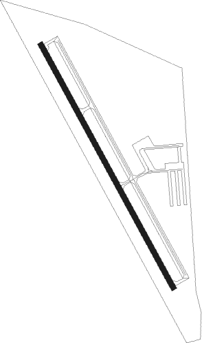
Knoxville - Knoxville Muni
Airport details
| Country | United States of America |
| State | Iowa |
| Region | K3 |
| Airspace | Chicago Ctr |
| Municipality | Knoxville |
| Elevation | 928ft (283m) |
| Timezone | GMT -6 |
| Coordinates | 41.29910, -93.11374 |
| Magnetic var | |
| Type | land |
| Available since | X-Plane v10.40 |
| ICAO code | KOXV |
| IATA code | n/a |
| FAA code | OXV |
Communication
| Knoxville Muni AWOS 3 | 119.775 |
| Knoxville Muni CTAF/UNICOM | 122.800 |
| Knoxville Muni DES MOINES Approach/Departure | 123.900 |
Nearby Points of Interest:
Knoxville WPA Athletic Field Historic District
-Knoxville Veterans Administration Hospital Historic District
-Marion County Courthouse
-E.R. Hays House
-Coal Ridge Baptist Church and Cemetery
-Wabash Railroad Bridge
-East Amsterdam School
-Hammond Bridge
-Dirk Van Loon House
-Hendrik J. and Wilhelmina H. Van Den Berg Cottage
-St. Joseph's Catholic Church
-Chicago, Rock Island and Pacific Passenger Depot-Pella
-William Van Asch House-Huibert Debooy Commercial Room
-Ten Hagen Cottage–Stegeman Store
-Collegiate Neighborhood Historic District
-Porter-Rhynsburger House
-Henry and Johanna Van Maren House-Diamond Filling Station
-Dirk and Cornelia J. Vander Wilt Cottage
-Dominie Henry P. Scholte House
-Pella Opera House
-Philipus J. and Cornelia Koelman House
-B.H. and J.H.H. Van Spanckeren Row Houses
-Thomas F. and Nancy Tuttle House
-Evan F. Ellis Farmhouse
-Coal Creek Bridge
Nearby beacons
| code | identifier | dist | bearing | frequency |
|---|---|---|---|---|
| PEA | PELLA NDB | 9.9 | 58° | 257 |
| DSM | DES MOINES VORTAC | 25.5 | 285° | 117.50 |
| TNU | NEWTON VOR/DME | 29.1 | 1° | 112.50 |
| OTM | OTTUMWA VOR/DME | 39.1 | 109° | 111.60 |
| BEX | BLOOMFIELD NDB | 45.4 | 129° | 269 |
| JWJ | ELMWOOD (MARSHALTOWN) VOR/DME | 49.6 | 14° | 109.40 |
| LMN | LAMONI VOR/DME | 57.2 | 231° | 116.70 |
Instrument approach procedures
| runway | airway (heading) | route (dist, bearing) |
|---|---|---|
| RW15 | JOEBB (149°) | JOEBB 3000ft |
| RW15 | LACON (61°) | LACON RUDEH (18mi, 16°) 3000ft JOEBB (5mi, 71°) 3000ft |
| RW15 | MIXIN (141°) | MIXIN JOEBB (11mi, 133°) 3000ft |
| RW15 | TNU (181°) | TNU PUPCE (17mi, 181°) 3000ft JOEBB (5mi, 251°) 3000ft |
| RNAV | JOEBB 3000ft UKRIC (6mi, 149°) 2500ft KOXV (5mi, 149°) 964ft LEGWU (11mi, 149°) 2700ft LEGWU (turn) | |
| RW33 | BUSSY (292°) | BUSSY LEGWU (8mi, 246°) 2700ft |
| RW33 | LACON (61°) | LACON MAYIS (13mi, 99°) 2700ft LEGWU (5mi, 71°) 2700ft |
| RW33 | LEGWU (329°) | LEGWU 2700ft |
| RNAV | LEGWU 2700ft FIXAB (6mi, 329°) 2500ft KOXV (5mi, 329°) 967ft JOEBB (11mi, 329°) 3000ft JOEBB (turn) |
Disclaimer
The information on this website is not for real aviation. Use this data with the X-Plane flight simulator only! Data taken with kind consent from X-Plane 12 source code and data files. Content is subject to change without notice.